Public domain
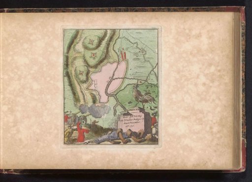
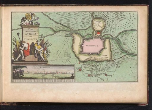
Siege of Temesvár, 1716
From the collection of Rijksmuseum, Amsterdam. Free to download, adapt and use — no permission needed.
About this work
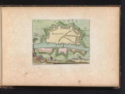
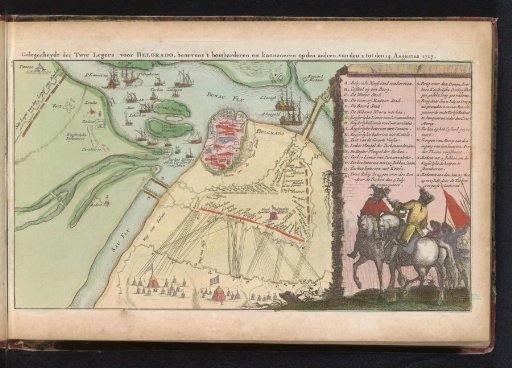
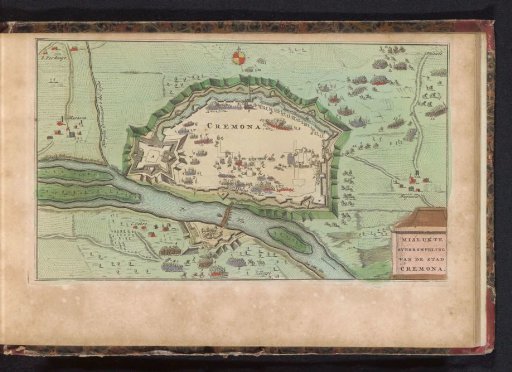
Map with a plan of the fortifications around the city of Temesvár and the bombardment by the imperial troops in October 1716. On the left a monument with a trophy of arms and defeated Turks, below it a view of the bombardment of the city. Part of an atlas with 223 maps of countries and cities and scenes of war in Europe from ca. 1690-1735.
Rijksmuseum, Amsterdam’s own descriptionCredit lineBeleg van Temesvár, 1716. 1735. anonymous. Rijksmuseum, Amsterdam. Public domain.