Public domain
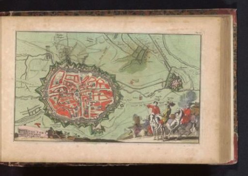
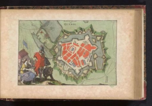
Plan of Le Quesnoy
From the collection of Rijksmuseum, Amsterdam. Free to download, adapt and use — no permission needed.
About this work
Plan of the fortifications around the city of Le Quesnoy. In the bottom left corner a standing warrior with a lion (the Allies) next to a seated woman with a mask, a rooster, and a note with the text "No Sir" (deception by the French). Probably refers to the conquest of this city by the Allies from the French in 1712. Part of an atlas with 223 maps of countries and cities and scenes of war in Europe in the period ca. 1690-1735.
Rijksmuseum, Amsterdam’s own descriptionCredit linePlattegrond van Le Quesnoy. 1735. anonymous. Rijksmuseum, Amsterdam. Public domain.