Public domain
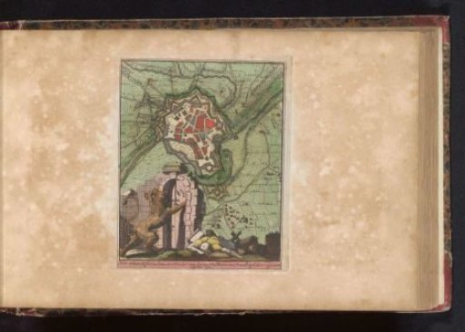
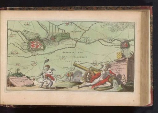
Map of Aire-sur-la-Lys and Saint-Venant
From the collection of Rijksmuseum, Amsterdam. Free to download, adapt and use — no permission needed.
About this work
Map with the cities of Aire-sur-la-Lys and Saint-Venant, both cities besieged by the Allies in September 1710. In the bottom left corner two putti are killing two flies with one blow using a fly swatter, on the right the startled river god of the Lys looking up. Part of an atlas with 223 maps of countries and cities and scenes of war in Europe in the period ca. 1690-1735.
Rijksmuseum, Amsterdam’s own descriptionCredit lineKaart van Aire-sur-la-Lys en Saint-Venant. 1735. anonymous. Rijksmuseum, Amsterdam. Public domain.