Public domain
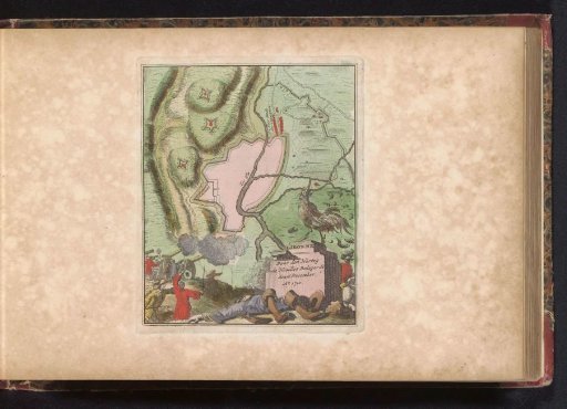
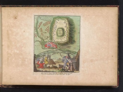
Map of Donauwörth with the Battle of Schellenberg, 1704
From the collection of Rijksmuseum, Amsterdam. Free to download, adapt and use — no permission needed.
About this work
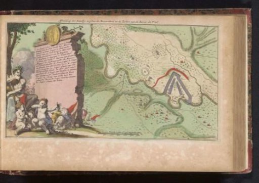
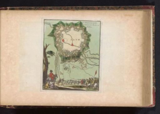
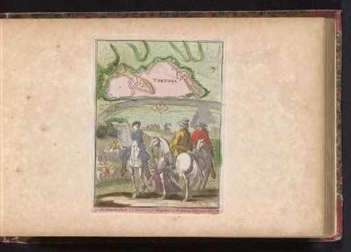
Plan of Donauwörth with the Battle of Schellenberg between the Allies and the Bavarians and French, 2 July 1704. At the bottom an allegorical scene with Courage, Time and Victory, with a two-line verse. Part of an atlas with 223 maps of countries and cities and scenes of war in Europe from ca. 1690-1735.
Rijksmuseum, Amsterdam’s own descriptionCredit linePlattegrond van Donauwörth met de slag aan de Schellenberg, 1704. 1735. Zacharias Chatelain (II). Rijksmuseum, Amsterdam. Public domain.