Public domain
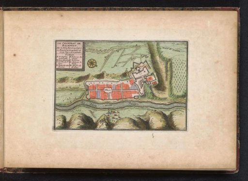
Map of Rheinfels (Sankt Goar)
From the collection of Rijksmuseum, Amsterdam. View the original catalogue record. Free to download, adapt and use — no permission needed.
About this work
Plan of Rheinfels (Sankt Goar). Part of an atlas with 223 maps of countries and cities and scenes of war in Europe from ca. 1690-1735.
Rijksmuseum, Amsterdam’s own description- Institution
- Rijksmuseum, Amsterdam
- Catalogue identifier
- BI-B-FM-090-33
- Arkivism identifier
- rijks-BI-B-FM-090-33
- Date
- 1700 - 1702
- Medium
- etching; engraving; hand coloring; paper
Credit linePlattegrond van Rheinfels (Sankt Goar). 1700 - 1702. anonymous. Rijksmuseum, Amsterdam. Public domain.
More from Rijksmuseum, Amsterdam
 Portrait of Dirk I, Count of Holland
 Peso or eight Reals from the Republic of Mexico, 1863, struck at Real de Catorce, with five and six Chinese characters stamped on the obverse and reverse respectively
 Wilhelmina Queen of the Netherlands
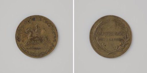 The Crown Prince of Orange at the Battle of Waterloo 1815
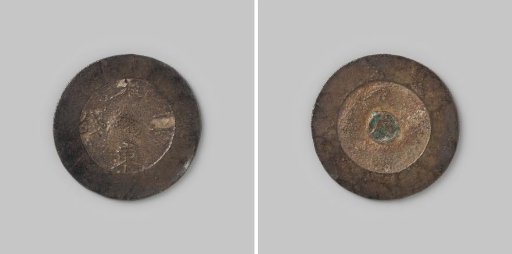 2 chon from the Kingdom of Korea
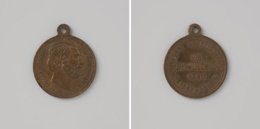 Twenty-fifth Anniversary of the Reign of King William III 1874