Public domain
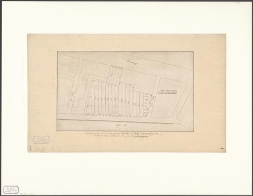
Map of the plots along the IJgracht between the Foeliestraat and the Peperstraat
From the collection of Rijksmuseum, Amsterdam. Free to download, adapt and use — no permission needed.
About this work
Subject category within the Atlas Amsterdam: Prinsengracht, Korte Prinsengracht, Prins Hendrikkade. See also Portfolio 1: Views of the IJ towards the city.
Rijksmuseum, Amsterdam’s own descriptionCredit linePlattegrond van de percelen aan de IJgracht tussen de Foeliestraat en de Peperstraat. 1650 - 1750. anonymous. Rijksmuseum, Amsterdam. Public domain.
Similar works
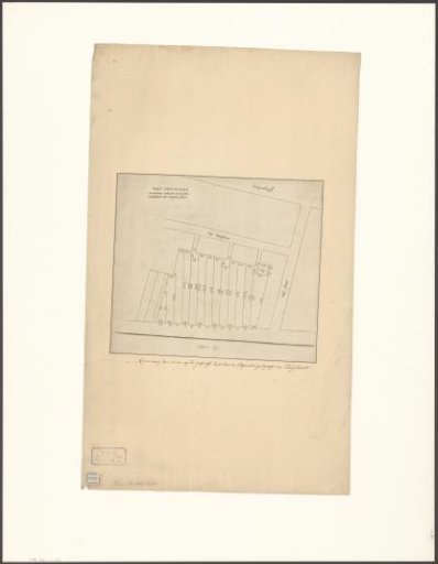 Map of the plots along the IJgracht between the Rapenburgergracht and the Foeliestraat
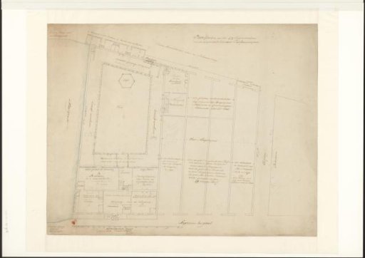 View of the Courtyard of the Oudezijds Huiszittenhuis in Amsterdam
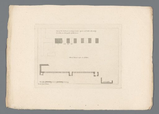 Plan of Newark Castle
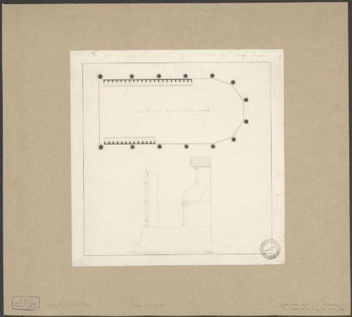 Plan and section of the choir stalls in the Oude Kerk in Amsterdam
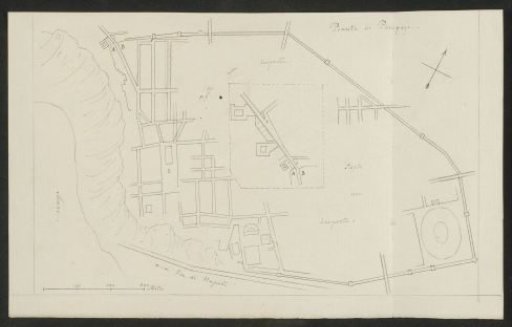 Plan of Pompeii
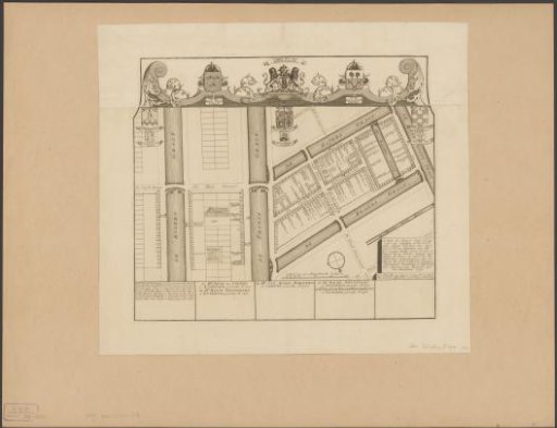 Map of civic district XXXV in Amsterdam, under the direction of Regimental Colonels Dirk Trip and Jan van Loon