Public domain
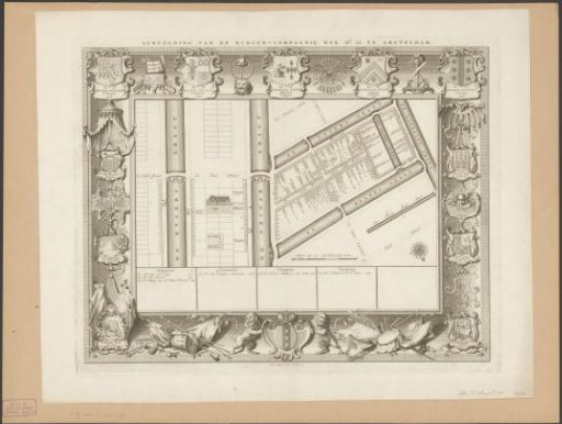
Map of civic district XXXV in Amsterdam, under the direction of Colonels Hendrik Stadlander, Jacob Elias, Cornelis Weyer Broek, Jacobus du Peyrou Jansz. and Gidion Victor
From the collection of Rijksmuseum, Amsterdam. Free to download, adapt and use — no permission needed.
About this work
Subject category within the Atlas Amsterdam: Schutterswijk maps.
Rijksmuseum, Amsterdam’s own descriptionSubjects
Credit linePlattegrond van burgerwijk XXXV te Amsterdam, onder leiding van kolonels Hendrik Stadlander, Jacob Elias, Cornelis Weyer Broek, Jacobus du Peyrou Jansz. en Gidion Victor. 1750. Frans de Bakker. Rijksmuseum, Amsterdam. Public domain.
Similar works
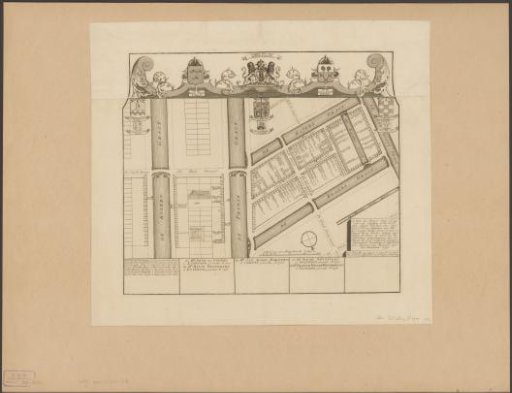 Map of civic district XXXV in Amsterdam, under the direction of Regimental Colonels Dirk Trip and Jan van Loon
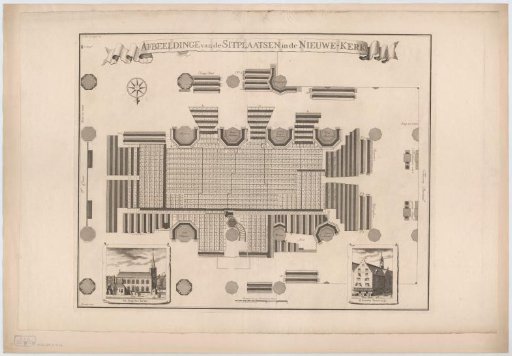 Floor plan of the seating in the Nieuwe Kerk in Amsterdam
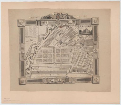 Plan of the XVth Civil Ward in Amsterdam, under the command of Captain Jan Bolten
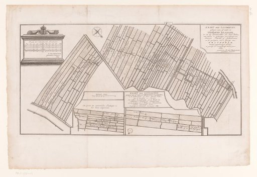 Map of the estates in Buitenveldert in Amsterdam
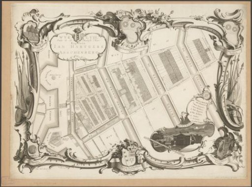 Map of Civic Guard District LVII in Amsterdam, under the direction of Captain Jan Hartgers Asschenberg
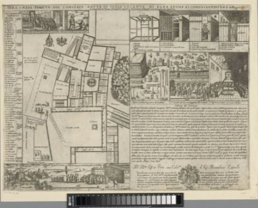 Ground plan for the conclave in May 1605