Public domain
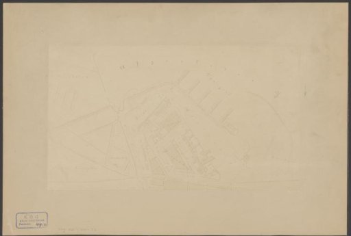
Photographic reproduction of a map of the Westelijke Eilanden in Amsterdam
From the collection of Rijksmuseum, Amsterdam. Free to download, adapt and use — no permission needed.
About this work
Subject category within the Atlas Amsterdam: Navigation: Piers, Mooring Places and Quays.
Rijksmuseum, Amsterdam’s own descriptionCredit lineFotoreproductie van een plattegrond van de Westelijke Eilanden te Amsterdam. 1860 - 1900. anonymous. Rijksmuseum, Amsterdam. Public domain.