Public domain
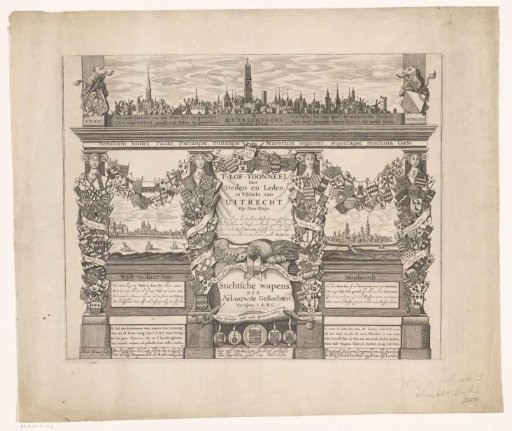
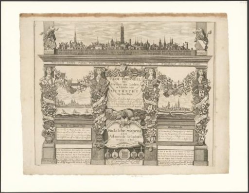
Coat of Arms Map of Utrecht (Lower Part)
From the collection of Rijksmuseum, Amsterdam. Free to download, adapt and use — no permission needed.
About this work
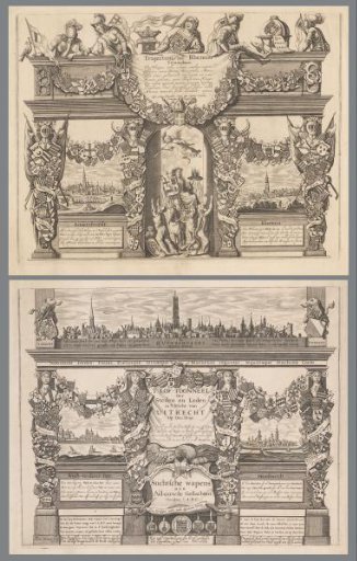
Lower part of a coat of arms map of cities and prominent families from the province of Utrecht. At the top the profile of the city of Utrecht, below that those of Wijk bij Duurstede and Montfoort. Subject headings within the Atlas Zeden en Gewoonten: topography; city profiles.
Rijksmuseum, Amsterdam’s own descriptionCredit lineWapenkaart van Utrecht (onderste deel). c. 1663 - 1732. Hendrik Winter. Rijksmuseum, Amsterdam. Public domain.