Public domain
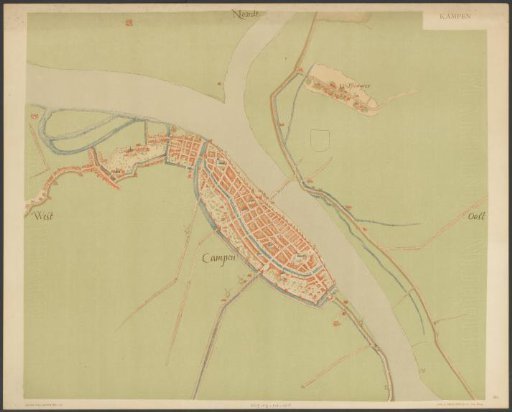
Plan of Kampen
From the collection of Rijksmuseum, Amsterdam. Free to download, adapt and use — no permission needed.
About this work
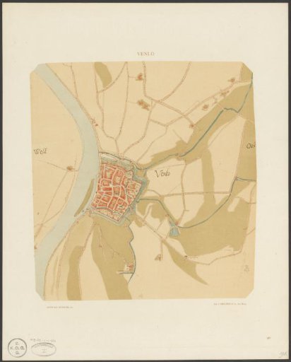
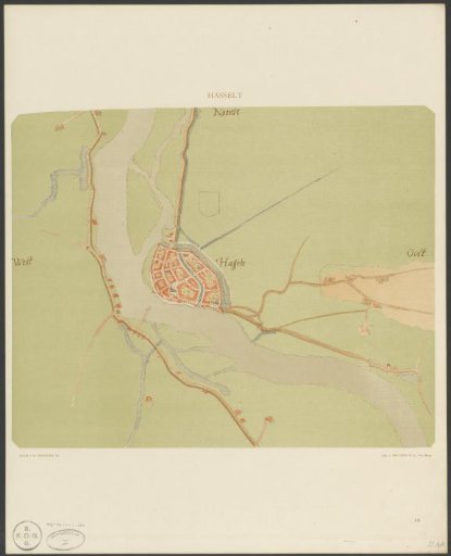
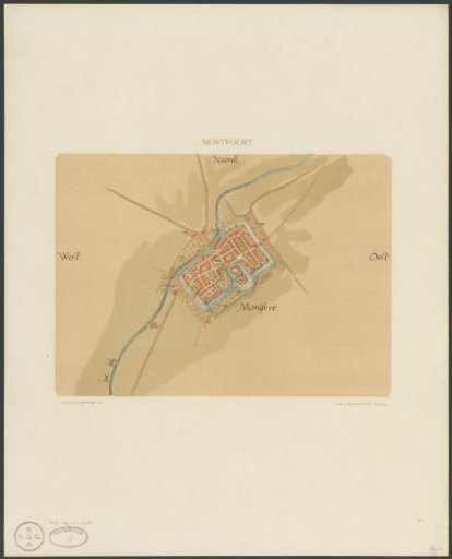
Map of the city of Kampen. Numbered in the lower right corner: 60. Part of a series 'Nederlandsche Steden in de 16e eeuw', reproductions of the original topographical drawings by Jacob van Deventer. Subject headings within the Atlas Zeden en Gewoonten: topography; city plans.
Rijksmuseum, Amsterdam’s own descriptionCredit linePlattegrond van Kampen. 1916 - 1923. Jacob van Deventer. Rijksmuseum, Amsterdam. Public domain.