Public domain
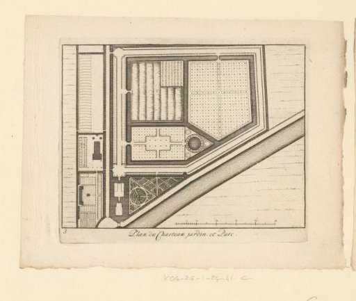
Map of the estate Gunterstein, Breukelen
From the collection of Rijksmuseum, Amsterdam. Free to download, adapt and use — no permission needed.
About this work
Plan of Gunterstein Castle and its associated gardens in Breukelen. Numbered in the lower left: 3. Subject headings within the Atlas Zeden en Gewoonten: Manners and Customs in the Narrower Sense, The Dwelling. Castles and country estates. Utrecht (continued).
Rijksmuseum, Amsterdam’s own descriptionCredit linePlattegrond van landgoed Gunterstein, Breukelen. 1721 - 1774. Joseph Mulder. Rijksmuseum, Amsterdam. Public domain.
Similar works
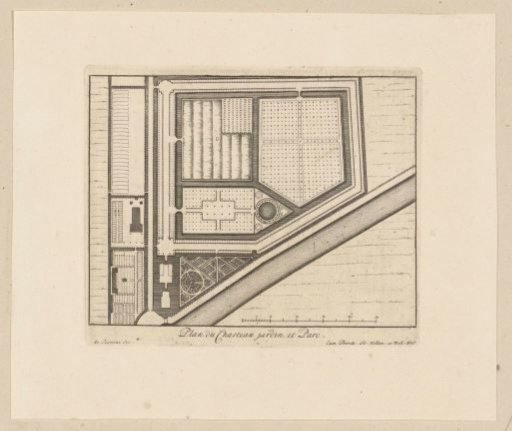 Plan of the estate of Gunterstein, Breukelen
 Plan of two bastions
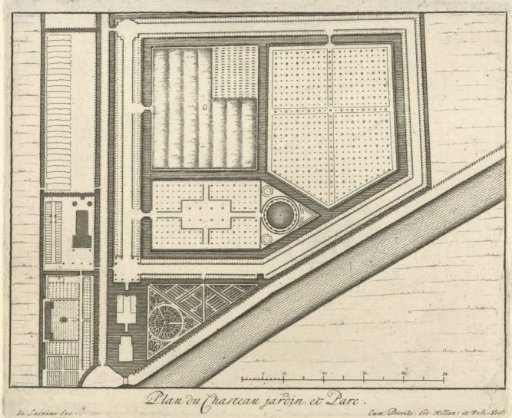 Map of the estate Gunterstein, Breukelen
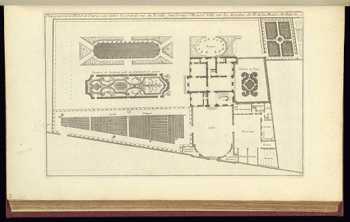 Bound print
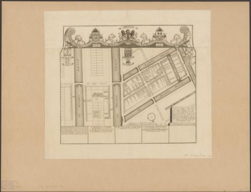 Map of civic district XXXV in Amsterdam, under the direction of Regimental Colonels Dirk Trip and Jan van Loon
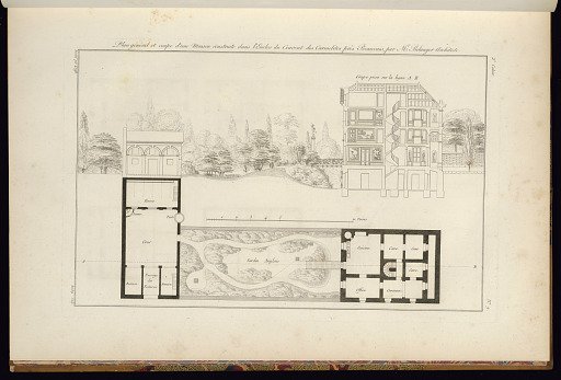 Plan general et coupe d’une Maison construite dans l’Enclos du Couvent des Carmelites près Beauvais par Mr. Belanger Architect