Public domain
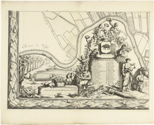
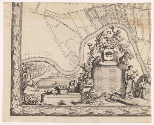
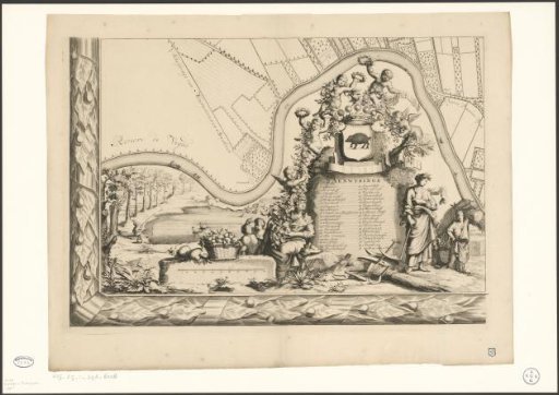
Map of the lordship of Maarsseveen
From the collection of Rijksmuseum, Amsterdam. Free to download, adapt and use — no permission needed.
About this work
Plate bottom left. The plan of a part of the lordship of Maarsseveen. In the bottom left corner a legend 1-40, the crowned coat of arms of Maarsseveen (pig) and a scale bar. At the bottom images of an Arcadian landscape with putti and working farmers and shepherds, putti with festoons of fruit and flowers, a hunter and a fisherman. Subject headings within the Atlas Zeden en Gewoonten: Castles and country estates; prints of particularly large format.
Rijksmuseum, Amsterdam’s own descriptionCredit linePlattegrond van de heerlijkheid Maarsseveen. 1690 - 1691. Philibert Bouttats. Rijksmuseum, Amsterdam. Public domain.