Public domain
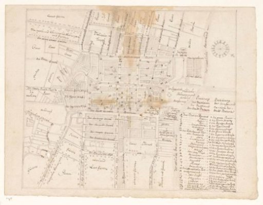
Map of Batavia
From the collection of Rijksmuseum, Amsterdam. Free to download, adapt and use — no permission needed.
About this work
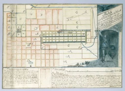
City plan of Batavia with German legend. Based on an old map from before 1743-45 (demolition of the castle wall between Diamant and Robijn. The Lutheran church (completed 1749) is also not yet on it. Brandes has drawn this with a pen.
Rijksmuseum, Amsterdam’s own descriptionSubjects
Credit linePlattegrond van Batavia. 1779 - 1785. Jan Brandes. Rijksmuseum, Amsterdam. Public domain.