Public domain
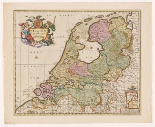
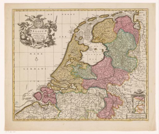
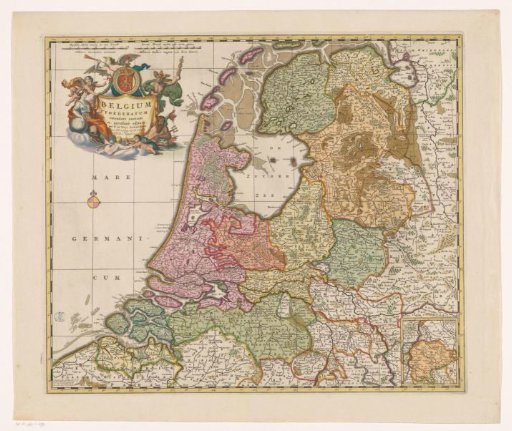
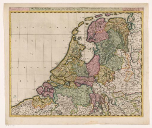
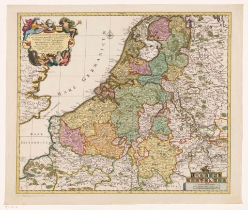
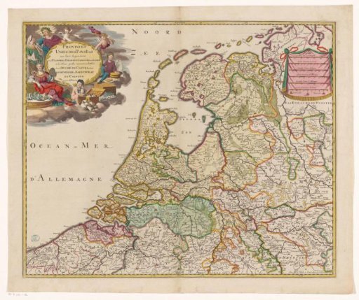
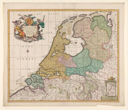
Map of the Republic of the Seven United Netherlands
From the collection of Rijksmuseum, Amsterdam. Free to download, adapt and use — no permission needed.
About this work
Map of the Republic. In the bottom right corner an inset with a supplementary map showing the course of the Meuse from Maastricht to Wessem. In the top left corner a cartouche with the title surrounded by putti, an angel blowing a trumpet, Mercury, Neptune and a woman with a globe. Above the inscription the angel holds a round shield with the coat of arms of the Netherlands. In the bottom right corner a scale with lion heads on a pedestal. Fire erupts from the scale. Below the pedestal the scale is also depicted once in German and once in French miles. In the pedestal: map of Maastricht to Wessem. Inscription.
Rijksmuseum, Amsterdam’s own descriptionSubjects
Credit lineKaart van de Republiek der Zeven Verenigde Nederlanden. 1677 - 1679. Nicolaes Visscher (I). Rijksmuseum, Amsterdam. Public domain.