Public domain
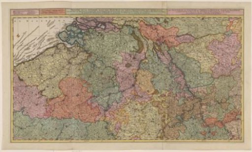
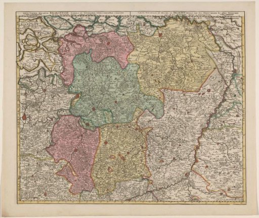
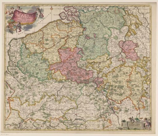
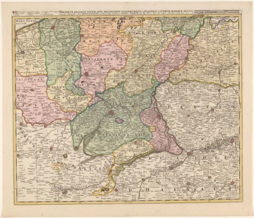
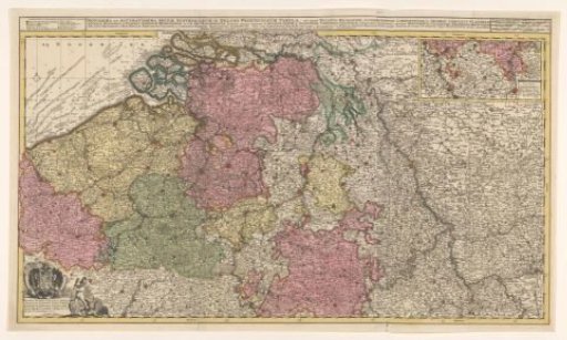
Map of the Southern (Austrian) Netherlands
From the collection of Rijksmuseum, Amsterdam. Free to download, adapt and use — no permission needed.
About this work
Map of the Southern (Austrian) Netherlands. Insert in the upper right showing part of the Duchy of Luxembourg; above it, scale in German, Spanish, and English-French miles. Upper left 'Explanation of the signs in this map'. Lower left dedication to Emperor Charles VI with his coat of arms and a putto fighting a harpy.
Rijksmuseum, Amsterdam’s own descriptionCredit lineKaart van de Zuidelijke (Oostenrijkse) Nederlanden. 1719. Joachim Ottens. Rijksmuseum, Amsterdam. Public domain.