Public domain
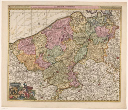
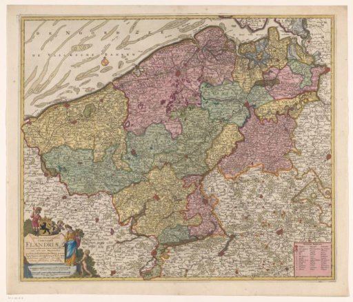
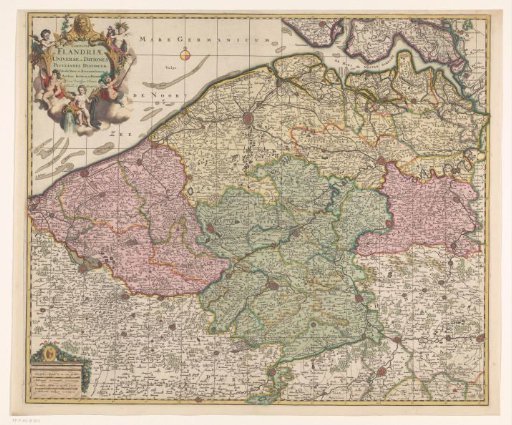
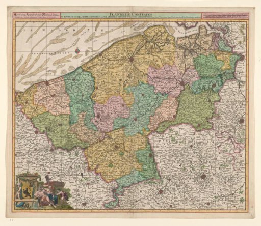
Map of the County of Flanders
From the collection of Rijksmuseum, Amsterdam. Free to download, adapt and use — no permission needed.
About this work
Map of the County of Flanders. Upper left, next to the title, the legend. Upper right scale in German and French miles. Wind rose in the upper left in the sea, lower left the coat of arms of Flanders, surrounded by allegorical figures and putti. Trees and fortifications are indicated on the map.
Rijksmuseum, Amsterdam’s own descriptionSubjects
Credit lineKaart van het graafschap Vlaanderen. c. 1680. Nicolaes Visscher (I). Rijksmuseum, Amsterdam. Public domain.