Public domain
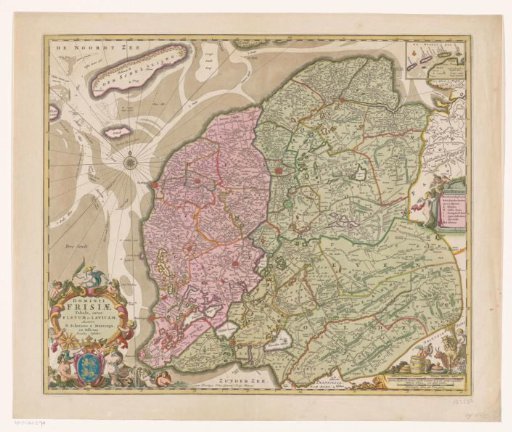
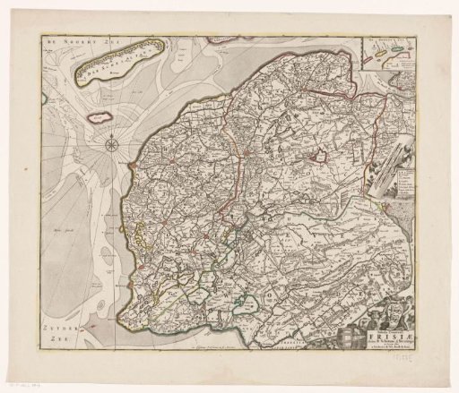
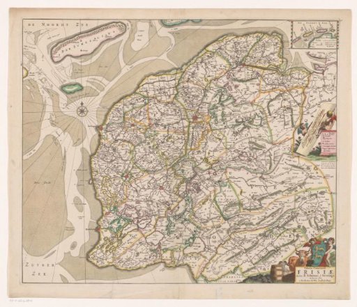
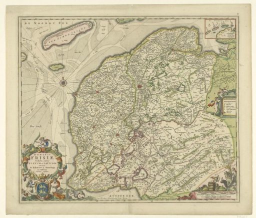
Map of the province of Friesland
From the collection of Rijksmuseum, Amsterdam. Free to download, adapt and use — no permission needed.
About this work
Map of the province of Friesland on a scale of 1:300,000. In the lower left a cartouche with the coat of arms of Friesland and the Latin title. Cartouche surrounded by putti and sea creatures. In the upper right a small inset with the Wadden Islands Vlieland, Ameland, Terschelling and Schiermonnikoog (Map of the Frisian Islands). In the middle right a notularum explicatio with symbols for monasteries, villages, farms, etc. In the lower right putti with objects of agriculture and livestock: butter, cheese, grain and cattle.
Rijksmuseum, Amsterdam’s own descriptionSubjects
Credit lineKaart van de provincie Friesland. 1670 - 1690. Bernardus Schotanus à Sterringa. Rijksmuseum, Amsterdam. Public domain.