Public domain
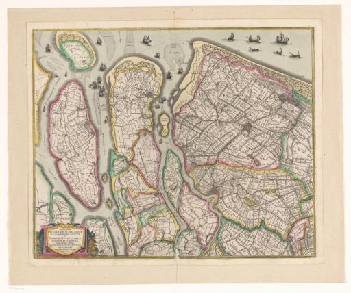
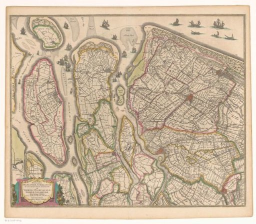
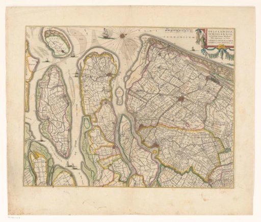
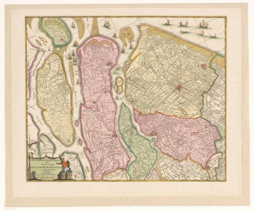
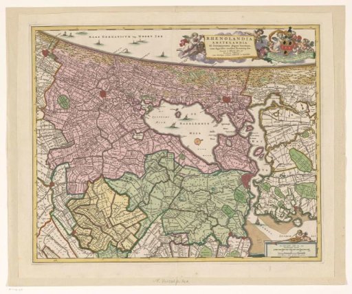
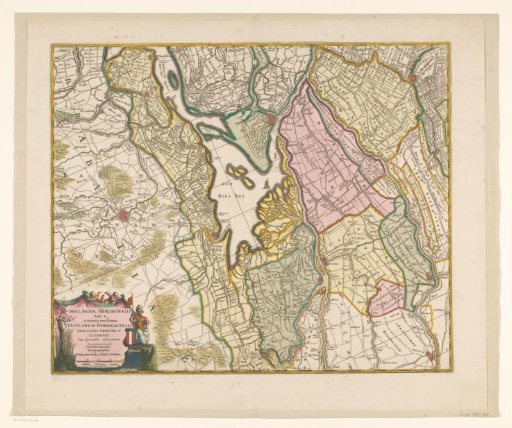
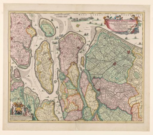
Map of South Holland
From the collection of Rijksmuseum, Amsterdam. Free to download, adapt and use — no permission needed.
About this work
Map of South Holland with west at the top. In the middle top the scale in Dutch and French miles and warships in battle in the North Sea and the estuaries of Haringvliet and the Meuse. In the upper right the title with privilege. In the lower left putti with the coat of arms of Jacob van der Dussen with the dedication. (1:180,000).
Rijksmuseum, Amsterdam’s own descriptionCredit lineKaart van Zuid-Holland. c. 1675. Nicolaes Visscher (I). Rijksmuseum, Amsterdam. Public domain.