Public domain
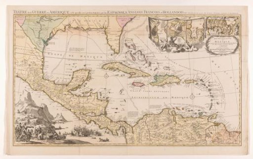
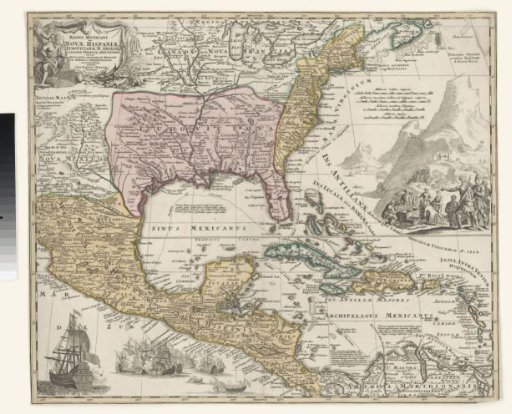
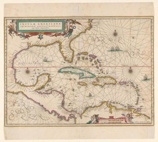
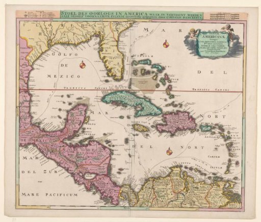
Map of the Caribbean region
From the collection of Rijksmuseum, Amsterdam. Free to download, adapt and use — no permission needed.
About this work
Map of Central America and the islands in the Caribbean Sea. At the top right, a cartouche with the Latin title; at the top center, also a Dutch title, flanked by legend and scale in German, French, and Spanish miles. Three compass roses (scale 1:6.5 million). On the map, the sailing routes of the Spanish silver fleet between Cartagena and Havana are indicated.
Rijksmuseum, Amsterdam’s own descriptionCredit lineKaart van het Caraïbisch gebied. 1680 - 1696. Cornelis Danckerts (II). Rijksmuseum, Amsterdam. Public domain.