Public domain
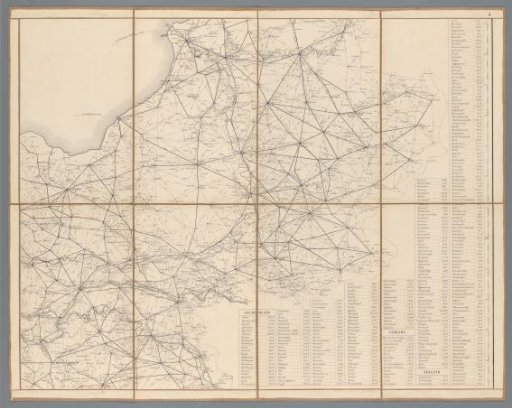
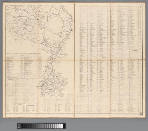
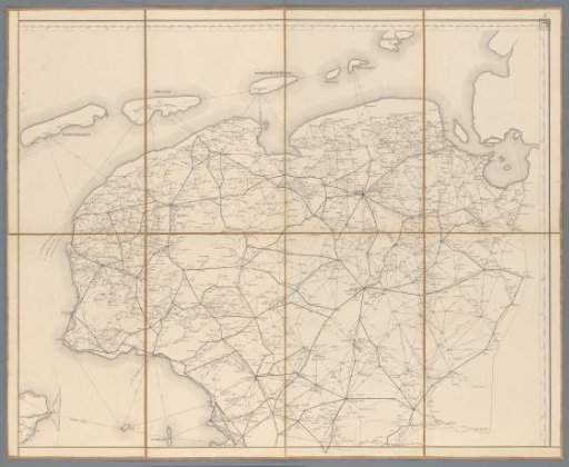
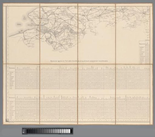
Distance Guide of the Kingdom of the Netherlands
From the collection of Rijksmuseum, Amsterdam. Free to download, adapt and use — no permission needed.
About this work
One of six map sheets with legend (see NG-934-1 to 6), mounted on linen, in a cardboard box, outside covered with black imitation leather and inside with green-black checkered paper. Dated; sheet 3, lower left: 1862.
Rijksmuseum, Amsterdam’s own descriptionSubjects
Credit lineAfstands-wijzer van het Koningrijk der Nederlanden. 1862. Topografisch Bureau Ministerie van Oorlog. Rijksmuseum, Amsterdam. Public domain.
Similar works
 Distance Guide of the Kingdom of the Netherlands
 Distance Guide of the Kingdom of the Netherlands
 Distance Guide of the Kingdom of the Netherlands
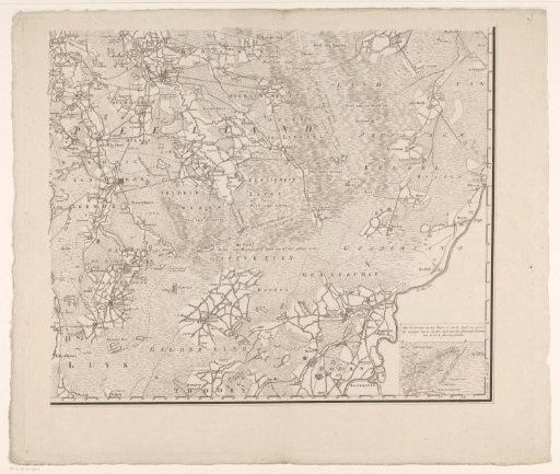 Map of Brabant (lower right section)
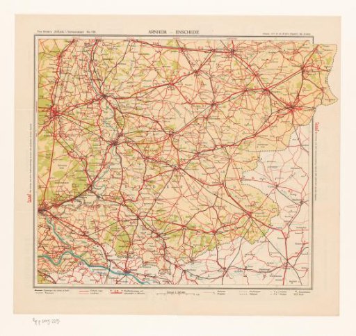 Map of the area around Zutphen and Lochem
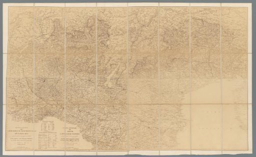 Photographic reproduction in 24 parts of a map of the Kingdom of Lombardy-Venice