Public domain
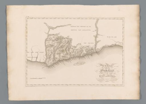
Map of the coast of Ghana
From the collection of Rijksmuseum, Amsterdam. Free to download, adapt and use — no permission needed.
About this work
Numbered in the upper right: XI. Main map of the island of Curaçao, with inserts of Fort Amsterdam and an overview map of the Caribbean islands.
Rijksmuseum, Amsterdam’s own descriptionCredit lineKaart van de kust van Ghana. 1818. Baarsel en Zoon, C. van. Rijksmuseum, Amsterdam. Public domain.