Public domain
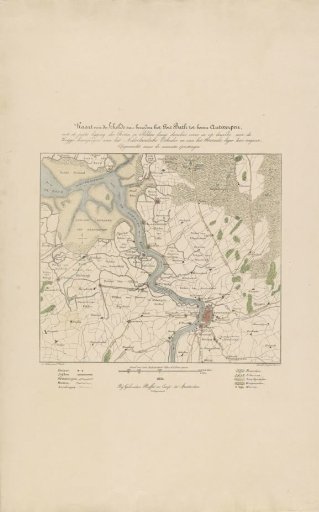
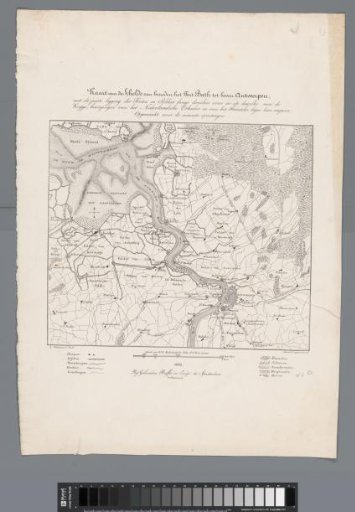
Map of Antwerp and the Citadel, 1832
From the collection of Rijksmuseum, Amsterdam. Free to download, adapt and use — no permission needed.
About this work
Map of the Scheldt between Antwerp and Fort Bath. Top: title and description. Bottom: legend and scale. Map of Antwerp and the Citadel, during the siege of Antwerp in December 1832.
Rijksmuseum, Amsterdam’s own descriptionCredit lineKaart van Antwerpen en de Citadel, 1832. 1832. Alexander Oltmans. Rijksmuseum, Amsterdam. Public domain.