Public domain
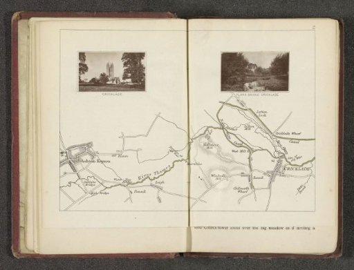
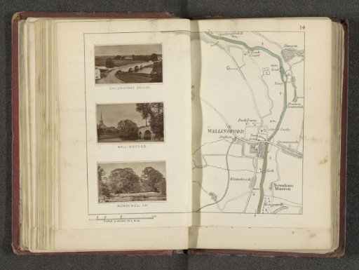
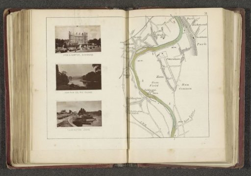
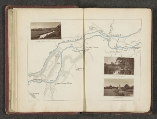
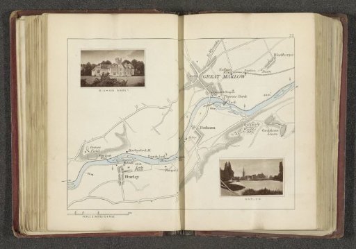
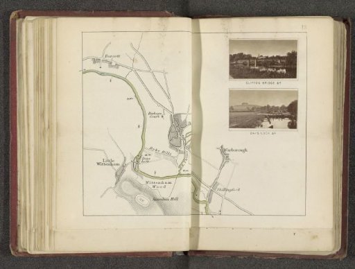
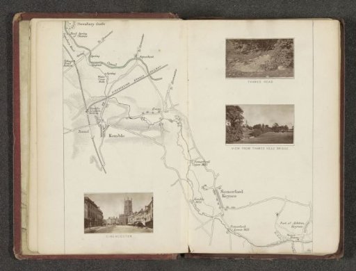
Map with three images of places along the Thames
From the collection of Rijksmuseum, Amsterdam. Free to download, adapt and use — no permission needed.
About this work
Left: view of Cirencester, right: two images of Thames Head, historically known as the source of the Thames.
Rijksmuseum, Amsterdam’s own descriptionCredit lineKaart met drie afbeeldingen van plaatsen langs de Theems. in or after 1878 - in or . Henry W. Taunt. Rijksmuseum, Amsterdam. Public domain.