Public domain
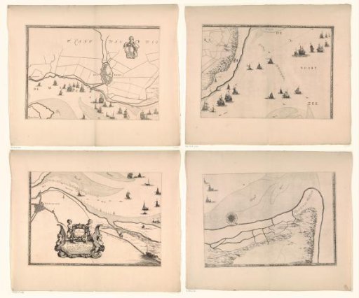
Map of the Maas estuary with postal routes (upper left part)
From the collection of Rijksmuseum, Amsterdam. Free to download, adapt and use — no permission needed.
About this work
Part (top left) of a map of the mouth of the Maas with postal routes.
Rijksmuseum, Amsterdam’s own descriptionCredit lineKaart van de Maasmonding met postroutes (deel linksboven). 1666. Joost van Geel. Rijksmuseum, Amsterdam. Public domain.
Similar works
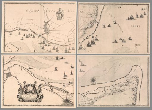 Map of the Mouth of the Meuse with postal routes, consisting of four parts
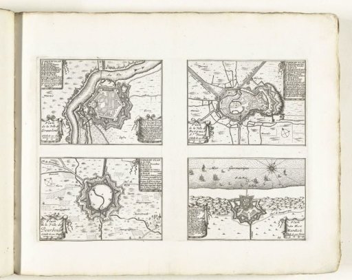 Maps of Gravelines, Bergues, Bourbourg and Mardijk, ca. 1702
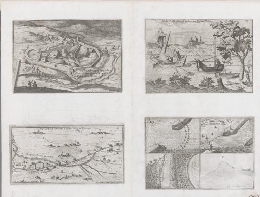 Four depictions of hydraulic installations
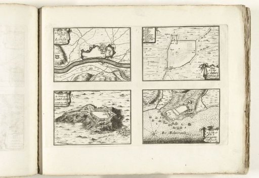 Plans of Lérida, Tarragona and other places in Catalonia, ca. 1702
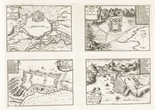 Plans of Perpignan, Salces, Mont-Louis and Collioure, ca. 1702
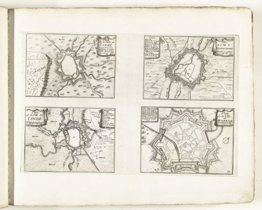 Maps of Condé, Valenciennes and Maubeuge, ca. 1702