Public domain
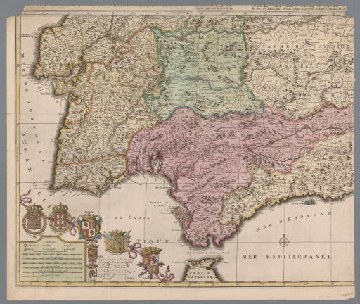
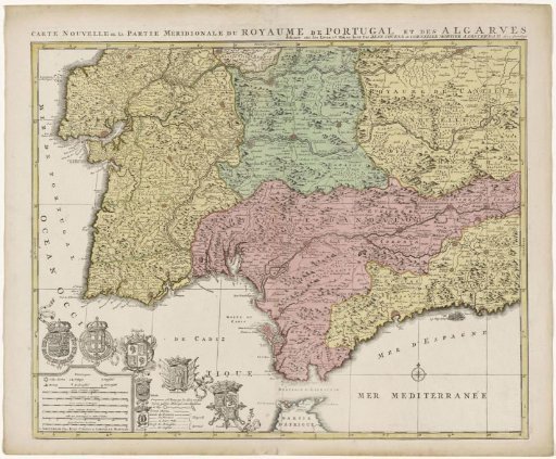
Map of the south of Spain and Portugal
From the collection of Rijksmuseum, Amsterdam. Free to download, adapt and use — no permission needed.
About this work
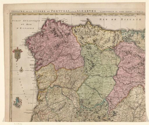
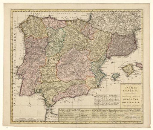
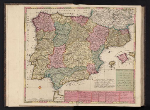
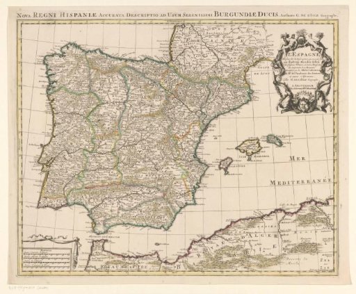
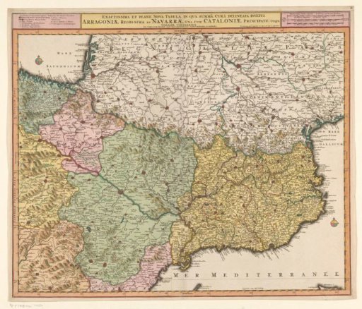
Map showing part of Portugal and the Spanish south coast. Part (bottom left sheet) of a large map of Spain and Portugal in four sheets, ca. 1703. Bottom left, the legend and the coats of arms of Spain and Portugal, connected with the coats of arms of the Algarve (including the city coats of arms of Toledo and Granada), Andalusia, and Castile and León.
Rijksmuseum, Amsterdam’s own descriptionCredit lineKaart van het zuiden van Spanje en Portugal. 1720 - 1772. Rijksmuseum, Amsterdam. Public domain.