Public domain
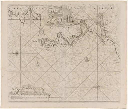
Chart of a section of the west coast of Ireland
From the collection of Rijksmuseum, Amsterdam. Free to download, adapt and use — no permission needed.
About this work
Chart of a part of the west coast of Ireland, with two compass roses, north to the left. In the upper middle a shepherd with his sheep near the cartouche with the title. In the lower left two cherubs with flowers near the publisher's address and the scale, shown in German, Spanish and English or French miles (scale: c. 1:550,000).
Rijksmuseum, Amsterdam’s own descriptionCredit linePaskaart van een gedeelte van de westkust van Ierland. 1681 - 1803. anonymous. Rijksmuseum, Amsterdam. Public domain.
Similar works
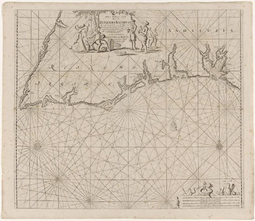 Sea chart of part of the south coast of Portugal and Spain with the Algarve and Andalusia
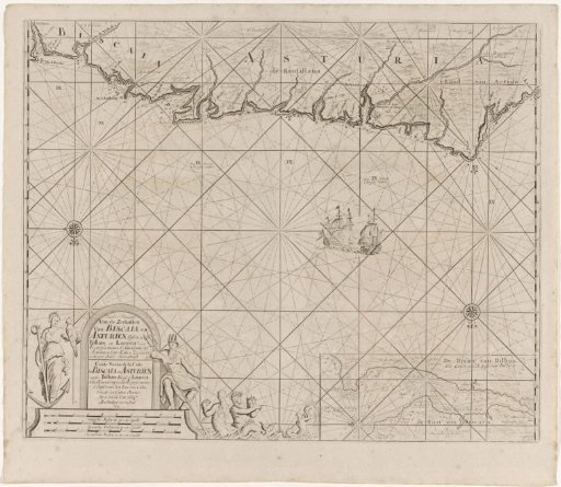 Sea chart of part of the Bay of Biscay near Bilbao
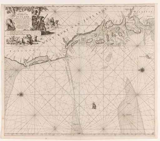 Chart of the west coast of Jutland
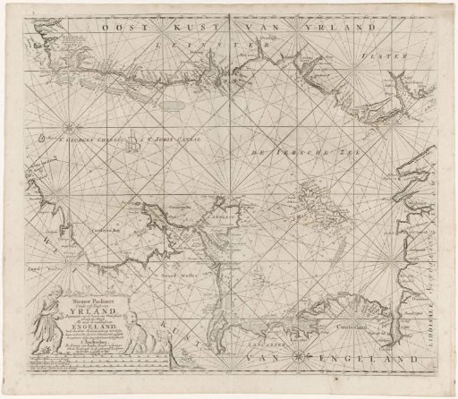 Chart of part of the Irish Sea and the St. George's Channel
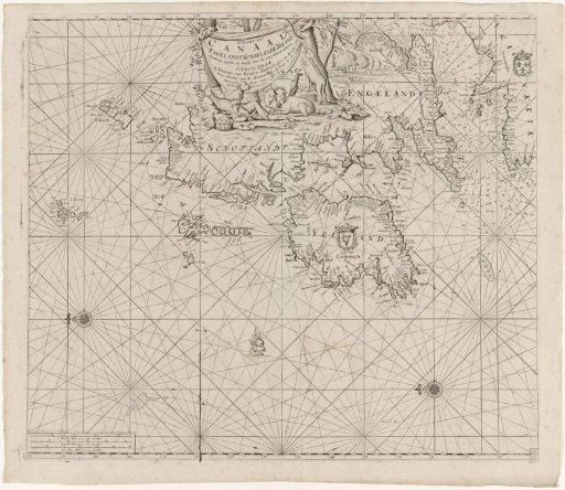 Chart of the coasts of Ireland, Scotland, England and France
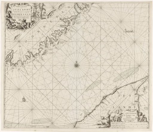 Chart of a part of the coast of Norway and Jutland