Public domain
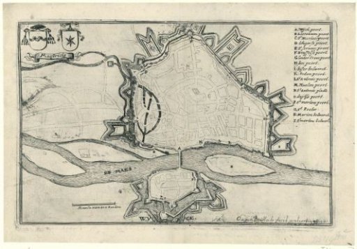
Map of Maastricht, captured by the French in 1673
From the collection of Rijksmuseum, Amsterdam. Free to download, adapt and use — no permission needed.
About this work
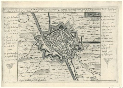
Plan of the city of Maastricht. This print is part of a group of twelve prints, mostly etched and published by Gaspar Bouttats, with views of fortresses and cities conquered by the French and the Bishop of Munster in 1672-1673. Plan with legend in Dutch.
Rijksmuseum, Amsterdam’s own descriptionCredit linePlattegrond van Maastricht, veroverd door de Fransen in 1673. 1672 - 1673. Gaspar Bouttats. Rijksmuseum, Amsterdam. Public domain.