Public domain
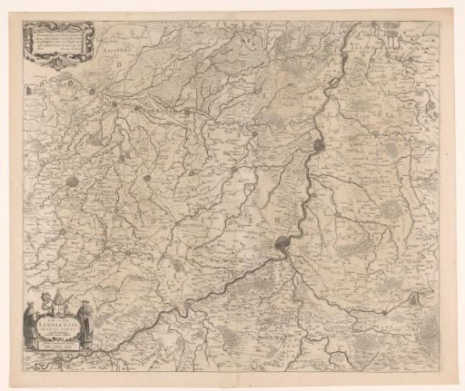
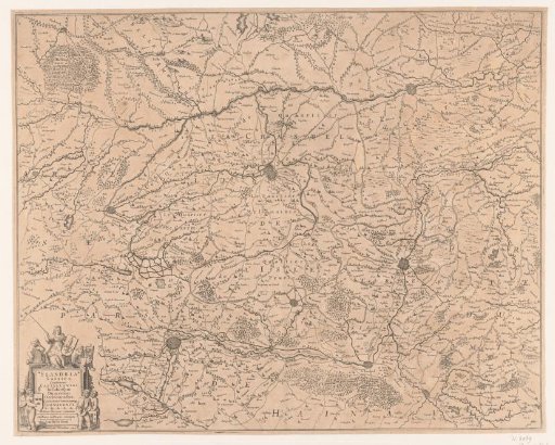
Map of the French part of Flanders
From the collection of Rijksmuseum, Amsterdam. Free to download, adapt and use — no permission needed.
About this work
Map of the French part of the Flanders region. The cartouche has a frame consisting of shield-bearing putti and at the top a personification of the region with a French lily on her shield.
Rijksmuseum, Amsterdam’s own descriptionSubjects
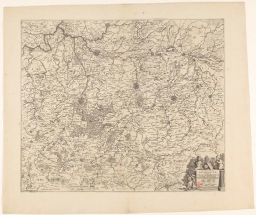
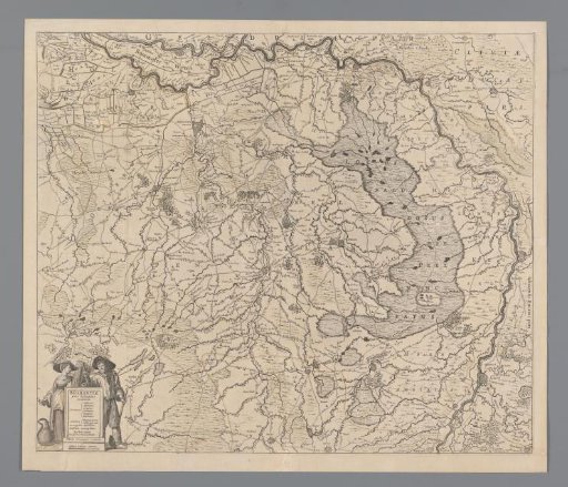
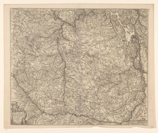
Credit lineKaart van het Franse deel van Vlaanderen. 1633 - 1649. Henricus Hondius, anonymous. Rijksmuseum, Amsterdam. Public domain.