Public domain
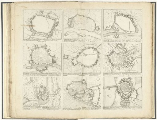
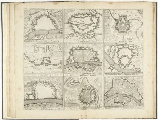
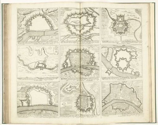
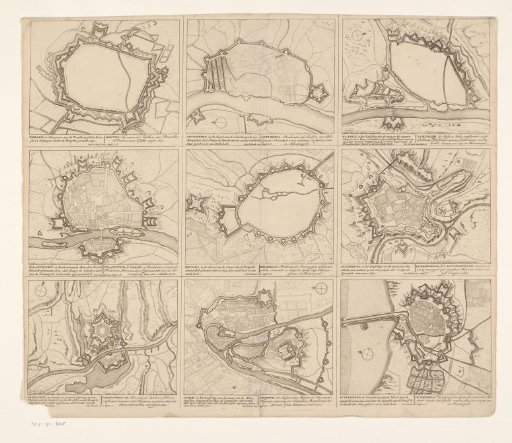
Maps of Mons, Antwerp, Namur, Maastricht, Brussels, Luxembourg, Charleroi, Liège, and Dunkirk
From the collection of Rijksmuseum, Amsterdam. Free to download, adapt and use — no permission needed.
About this work
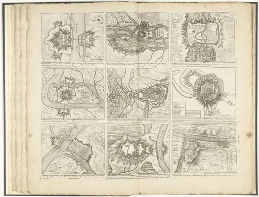
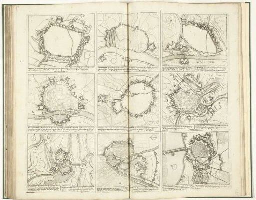
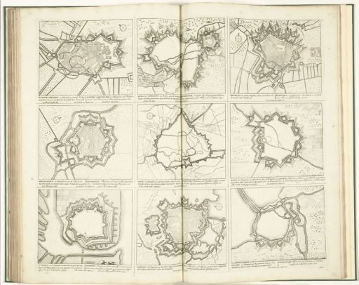
Sheet with nine maps of the fortifications of cities in the Spanish Netherlands.
Rijksmuseum, Amsterdam’s own descriptionCredit linePlattegronden van Mons, Antwerpen, Namen, Maastricht, Brussel, Luxemburg, Charleroi, Luik en Duinkerke. 1700 - 1710. Pieter Schenk (I). Rijksmuseum, Amsterdam. Public domain.