Public domain
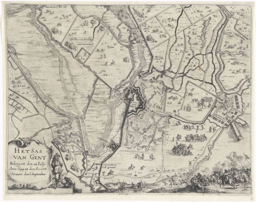
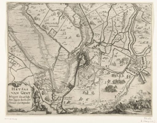
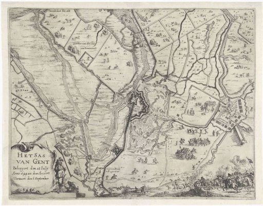
Map of the siege and capture of Sas van Gent, 1644
From the collection of Rijksmuseum, Amsterdam. Free to download, adapt and use — no permission needed.
About this work
Map of the siege of the city of Sas van Gent by the States army under Frederick Henry, begun 28 July and taken on 5 September 1644. Map of Sas van Gent and the surrounding land with the dikes and forts built by the besiegers and their army camps. Lower left a cartouche with the title. Lower right a skirmish. Marked upper left: Tweede deel Fol 168.
Rijksmuseum, Amsterdam’s own descriptionCredit lineKaart van beleg en verovering van Sas-van-Gent, 1644. 1651 - 1652. Dirk Stoop. Rijksmuseum, Amsterdam. Public domain.