Public domain
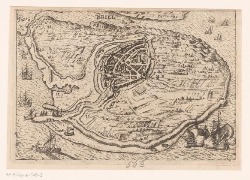
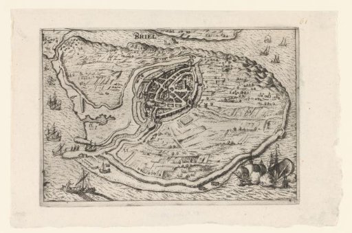
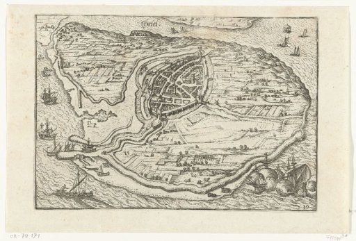
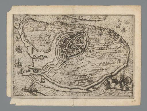
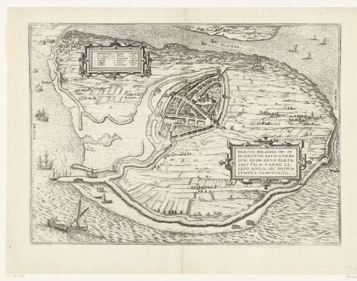
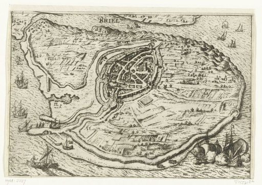
Map of the Island of Voorne and Plan of Brielle, 1572
From the collection of Rijksmuseum, Amsterdam. Free to download, adapt and use — no permission needed.
About this work
Map of the island of Voorne with a plan of Brielle, captured by the Watergeuzen on 1 April 1572, in bird's-eye perspective. Bottom left a fishing boat, bottom right two warships.
Rijksmuseum, Amsterdam’s own descriptionCredit lineKaart van het eiland Voorne en plattegrond van Brielle, 1572. 1609 - 1617. anonymous. Rijksmuseum, Amsterdam. Public domain.