Public domain
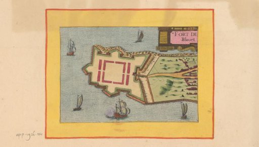
Map of the citadel at Port-Louis
From the collection of Rijksmuseum, Amsterdam. Free to download, adapt and use — no permission needed.
About this work
Blavet is the river that has its mouth here at Port-Louis. This plan is part of an album.
Rijksmuseum, Amsterdam’s own descriptionCredit linePlattegrond van de citadel bij Port-Louis. 1638. anonymous. Rijksmuseum, Amsterdam. Public domain.