Public domain
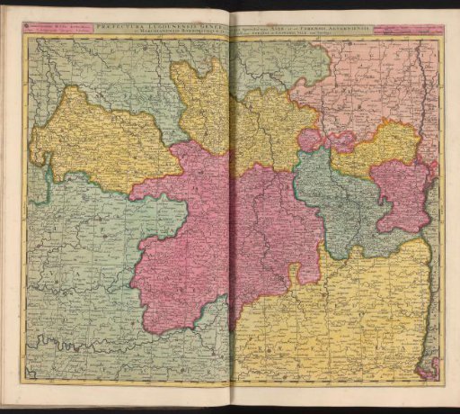
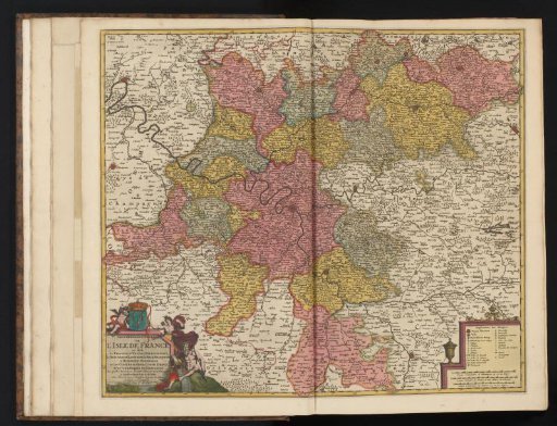
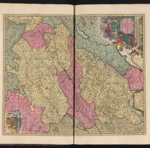
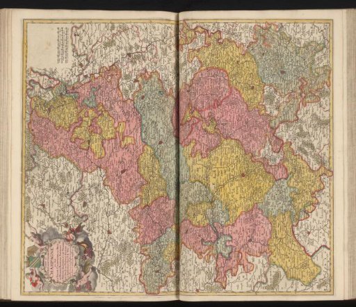
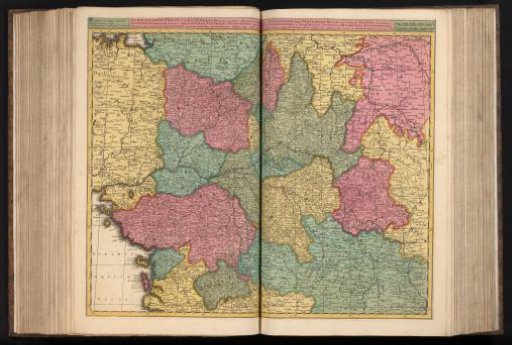
Map of the Pays de la Loire and surrounding areas
From the collection of Rijksmuseum, Amsterdam. Free to download, adapt and use — no permission needed.
About this work
The cities Nantes, Tours, Blois, Troyes and Orléans appear on this map. This print is part of an album.
Rijksmuseum, Amsterdam’s own descriptionCredit lineKaart van Pays de la Loire en omliggende gebieden. 1685 - 1726. anonymous. Rijksmuseum, Amsterdam. Public domain.