Public domain
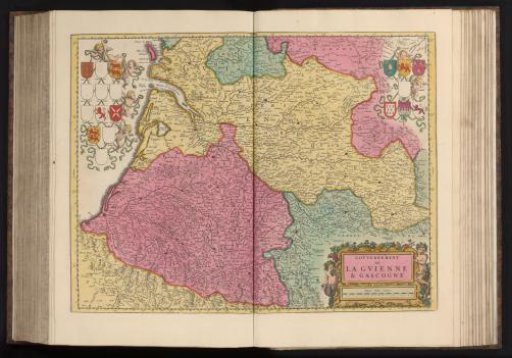
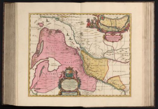
Map of the region around the rivers Garonne and Dordogne
From the collection of Rijksmuseum, Amsterdam. Free to download, adapt and use — no permission needed.
About this work
With an inset showing a plan of the fortress of Bordeaux. This print is part of an album.
Rijksmuseum, Amsterdam’s own descriptionCredit lineKaart van de streek rond de rivieren Garonne en Dordogne. 1670 - 1683. Pierre Duval. Rijksmuseum, Amsterdam. Public domain.