Public domain
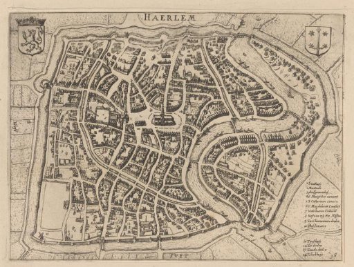
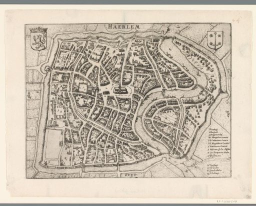
Plan of Haarlem
From the collection of Rijksmuseum, Amsterdam. Free to download, adapt and use — no permission needed.
About this work
Plan of the city of Haarlem. At the top the title, in the upper left corner the coat of arms of Holland, in the upper right corner the city coat of arms. In the lower right corner the legend 1-14. With indications on the map of three wind directions in Dutch. Part of the collection of maps taken from a later edition of: Descrittione di tutti i Paesi Bassi by Lodovico Guicciardini.
Rijksmuseum, Amsterdam’s own descriptionCredit linePlattegrond van Haarlem. 1607 - 1609. anonymous. Rijksmuseum, Amsterdam. Public domain.