Public domain
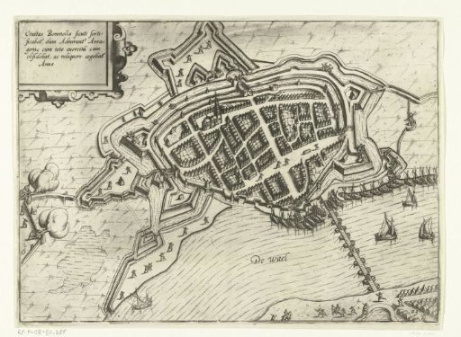
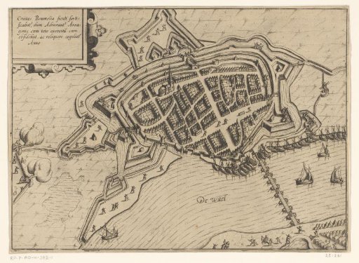
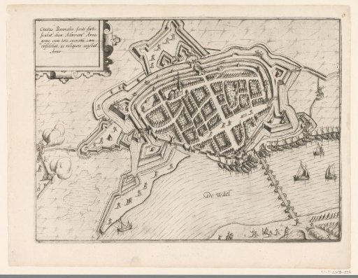
Plan of Zaltbommel
From the collection of Rijksmuseum, Amsterdam. Free to download, adapt and use — no permission needed.
About this work
Plan of the city of Zaltbommel (Bommel), during the siege by the Spaniards in May-June 1599. At the bottom the ship bridge over the Waal. In the upper left corner a cartouche with the Latin title. Part of the collection of maps taken from a later edition of: Descrittione di tutti i Paesi Bassi by Lodovico Guicciardini.
Rijksmuseum, Amsterdam’s own descriptionCredit linePlattegrond van Zaltbommel. 1607 - 1609. Lambert Cornelisz.. Rijksmuseum, Amsterdam. Public domain.