Public domain
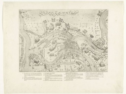
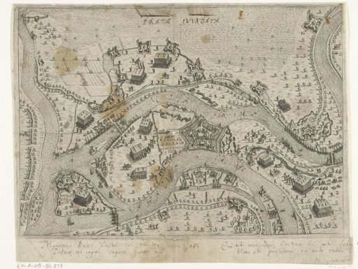
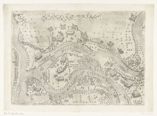
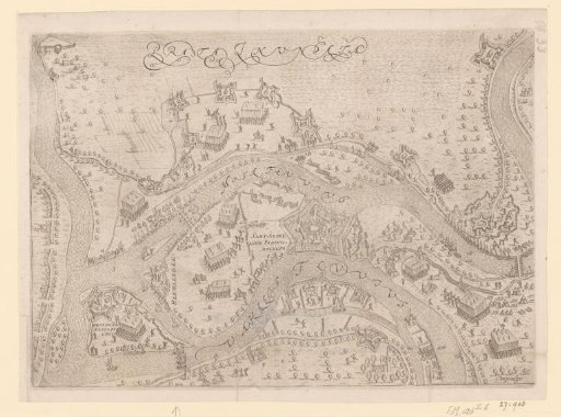
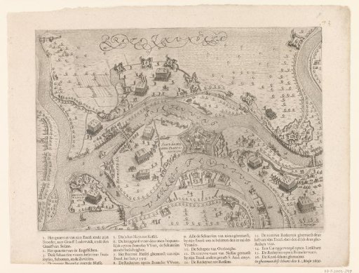
Siege and capture of Sint-Andries by Maurice, 1600
From the collection of Rijksmuseum, Amsterdam. Free to download, adapt and use — no permission needed.
About this work
Plan of the area between the Meuse and the Waal with the forts of Sint-Andries and Voorne, besieged and captured by the States Army under Maurice, Frederick Henry and Louis Gunther, May 1600. Printed separately below the plate the legend 1-16 in Dutch. At the end of the text the inscription 'In ghenomen dese Schants den 8. Maijo 1600'. Part of the collection of maps taken from a later edition of: Descrittione di tutti i Paesi Bassi by Lodovico Guicciardini.
Rijksmuseum, Amsterdam’s own descriptionSubjects
Credit lineBeleg en inname van Sint-Andries door Maurits, 1600. 1608 - 1610. Pieter Bast. Rijksmuseum, Amsterdam. Public domain.