Public domain
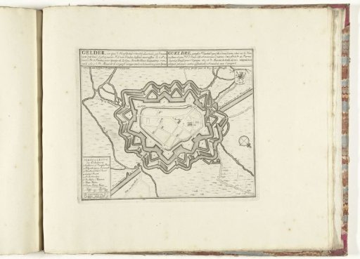
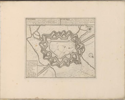
Map of Geldern
From the collection of Rijksmuseum, Amsterdam. Free to download, adapt and use — no permission needed.
About this work
Map of the city of Geldern (Gelder), besieged and captured by the Prussian troops on December 17 1703. With texts in Dutch and French. The print is part of an album.
Rijksmuseum, Amsterdam’s own descriptionSubjects
Credit linePlattegrond van Geldern. 1703 - 1733. Rijksmuseum, Amsterdam. Public domain.