Public domain
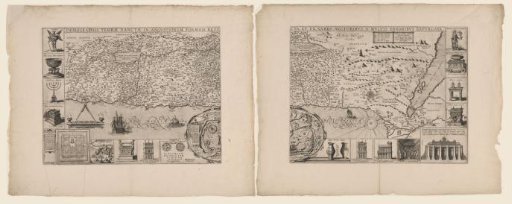
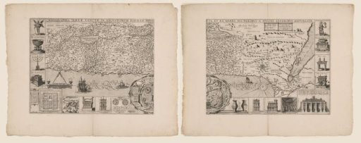
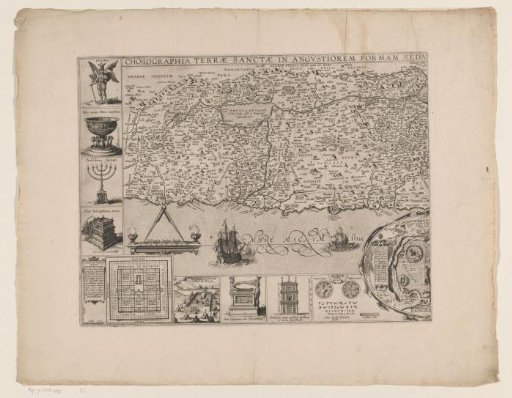
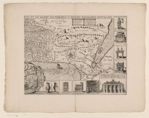
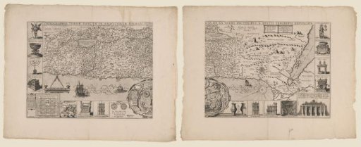
Map of the Holy Land, consisting of two parts
From the collection of Rijksmuseum, Amsterdam. Free to download, adapt and use — no permission needed.
About this work
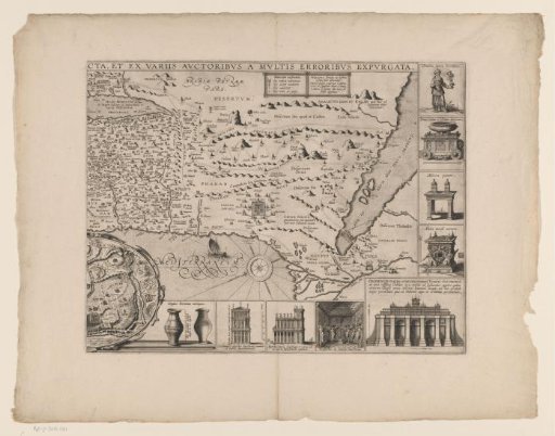
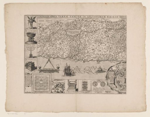
Map of the Holy Land. On the map the Exodus from Egypt is indicated, as well as various Biblical places and cities. Below, in the center, an inset with a map of Jerusalem, on which the main temples and buildings are indicated. Furthermore, various Biblical objects, views of temples and other religious representations can be seen around the map.
Rijksmuseum, Amsterdam’s own descriptionCredit lineKaart van het Heilige Land, bestaande uit twee delen. in or after 1632. Cornelis Galle (I). Rijksmuseum, Amsterdam. Public domain.