Public domain
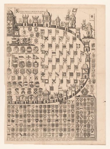
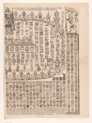
Armorial map of Flanders (right sheet)
From the collection of Rijksmuseum, Amsterdam. Free to download, adapt and use — no permission needed.
About this work
Coat of arms map of the County of Flanders. Part of the Southern Netherlands under the rule of the governors Albrecht (Albert) and Isabella (Elisabeth). Outside the enclosure stand four bears with banners. In two parts, this is the right sheet.
Rijksmuseum, Amsterdam’s own descriptionSubjects
Credit lineWapenkaart van Vlaanderen (rechter blad). 1618 - 1628. Lemmens. Rijksmuseum, Amsterdam. Public domain.
Similar works
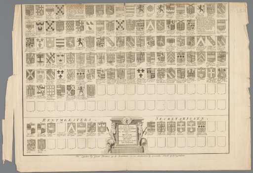 Coat of arms map with the coats of arms of officials of the Rijnland high water board
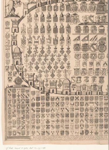 Armorial map of Flanders (left sheet)
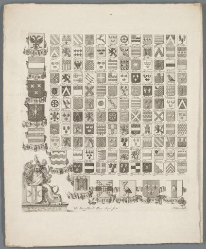 Coat of arms map, lower left sheet
 Armorial map of the Duchy of Brabant (right sheet)
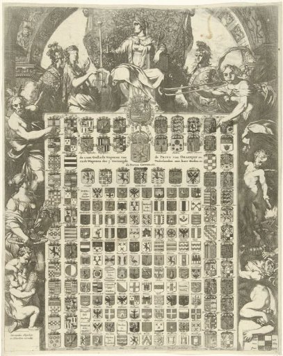 Family coats of arms of Prince William III in an allegorical frame
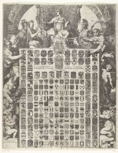 The 64 Coats of Arms of Prince William III in an Allegorical Frame, 1672