Public domain
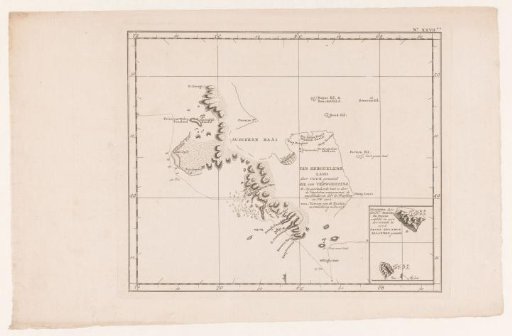
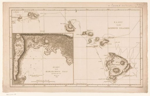
Map of the Sandwich Islands and Karakakooa Bay
From the collection of Rijksmuseum, Amsterdam. Free to download, adapt and use — no permission needed.
About this work
Map of the Sandwich Islands (Hawaii Islands) with, in the lower left, a separate inset map of Karakakooa Bay. The routes of James Cook's 1778 and 1779 expeditions are indicated on the maps. Surrounded by a degree scale.
Rijksmuseum, Amsterdam’s own descriptionCredit lineKaart van de Sandwich eilanden en de Karakakooa baai. 1780 - 1800. Cornelis van Baarsel. Rijksmuseum, Amsterdam. Public domain.