Public domain
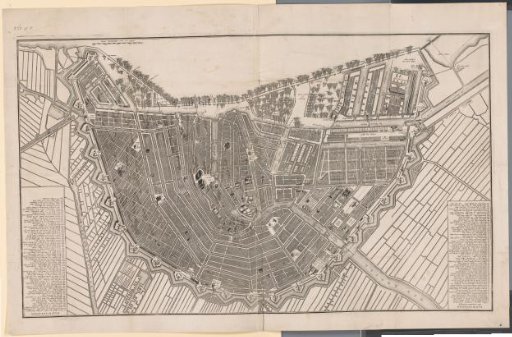
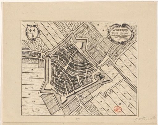
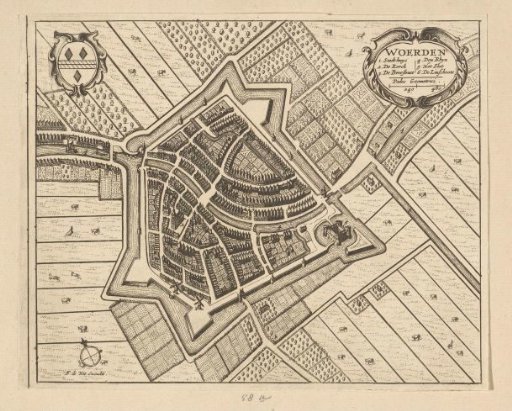
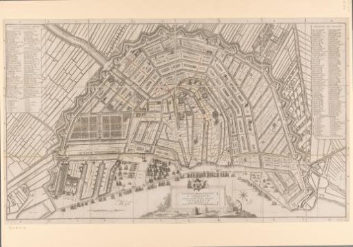
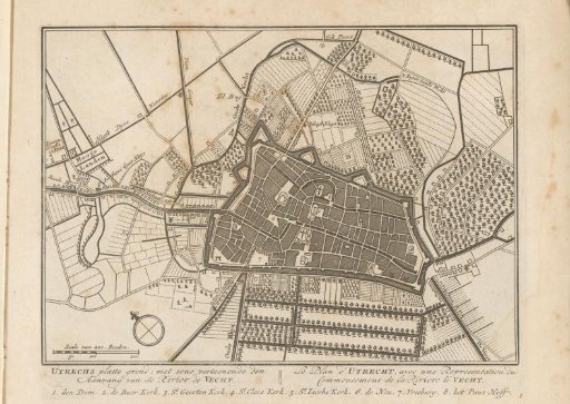
Map of the city of Utrecht
From the collection of Rijksmuseum, Amsterdam. Free to download, adapt and use — no permission needed.
About this work
Scale and compass in the lower left. Text in Dutch and French in the lower margin. Numbered: 1. Print is part of an album.
Rijksmuseum, Amsterdam’s own descriptionCredit linePlattegrond van de stad Utrecht. 1790. Daniël Stopendaal. Rijksmuseum, Amsterdam. Public domain.