Public domain
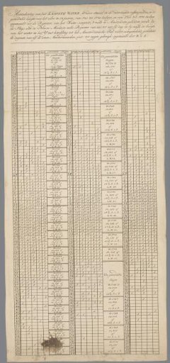
Water level map of the IJ in Amsterdam
From the collection of Rijksmuseum, Amsterdam. Free to download, adapt and use — no permission needed.
About this work
Print with measurements of the water level in the IJ in various years between 1701 and 1770.
Rijksmuseum, Amsterdam’s own descriptionCredit lineWaterstandskaart van het IJ in Amsterdam. in or after 1770. unknown. Rijksmuseum, Amsterdam. Public domain.
Similar works
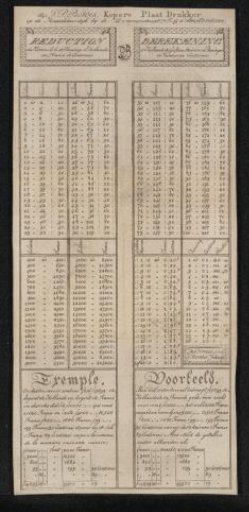 Calculation of Dutch guilders, stuivers and pennies in francs and centimes
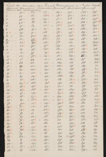 List of prints by Sir Frank Brangwyn in the Rijksprentenkabinet
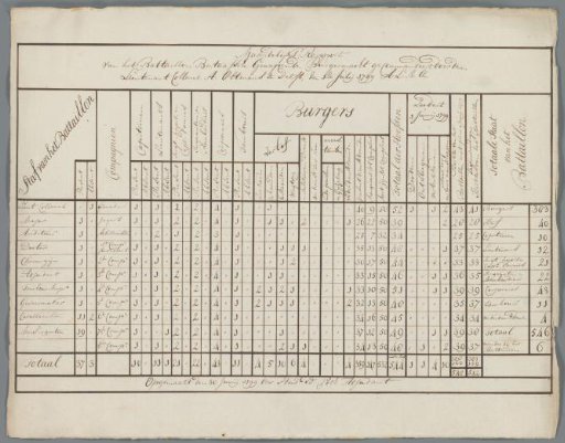 Monthly Report of the Battalion Batavian Armed Citizenry. 1799
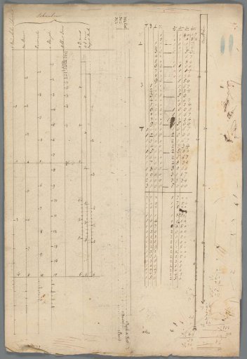 Table
Table
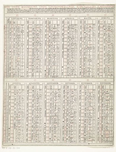 Wall calendar or almanac, ca. 1600
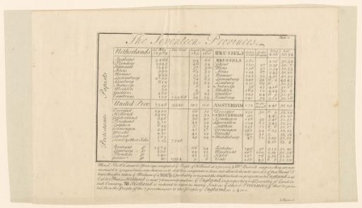 Population and Distance Tables of the Seventeen Provinces