Public domain
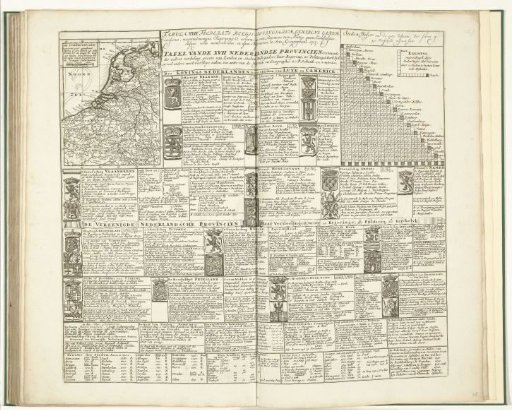
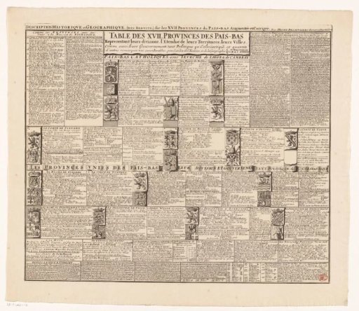
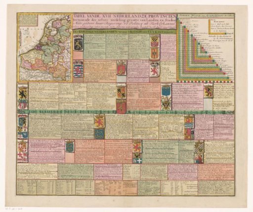
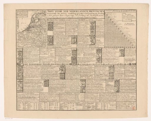
Map of the Seventeen Provinces with Explanation
From the collection of Rijksmuseum, Amsterdam. Free to download, adapt and use — no permission needed.
About this work
In the top left, a map of the Seventeen Provinces with a title and description in the top left. The map is provided with a degree division along the edges and a scale bar: Common Dutch miles. In the top right, a city index on which the distances between thirty important cities can be found. The rest of the print contains a systematic overview of each province with coats of arms and geographical, historical, and constitutional information.
Rijksmuseum, Amsterdam’s own descriptionSubjects
Credit lineKaart van de Zeventien Provinciën met uitleg. 1706. Caspar Specht. Rijksmuseum, Amsterdam. Public domain.