Public domain
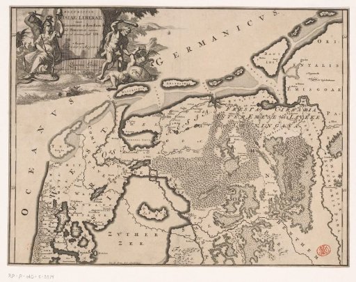
Historical map of the Netherlands with the territories of the Batavians and Frisians
From the collection of Rijksmuseum, Amsterdam. Free to download, adapt and use — no permission needed.
About this work
Map of the Frisian areas in present-day Netherlands and Germany in Roman times. In the upper left a cartouche with title, around the cartouche a man with a sword, the Dutch Maiden with a spear on which the liberty cap hangs, and Hercules defeating a blindfolded man. Scale bar below cartouche: Quincunx gradus. Degree division along the left and right edges.
Rijksmuseum, Amsterdam’s own descriptionCredit lineHistorische kaart van Nederland met de gebieden van de Bataven en Friezen. 1697 - 1700. Gerrit de Broen (I). Rijksmuseum, Amsterdam. Public domain.
Similar works
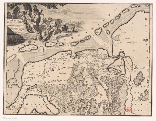 Historical map of the Netherlands with the territories of the Batavians and Frisians
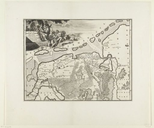 Historical map of the Netherlands with the territories of the Batavians and Frisians
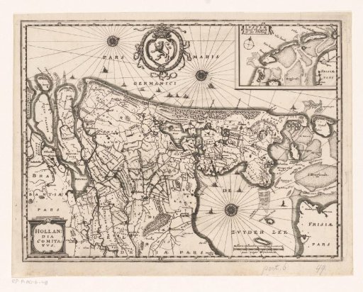 Map of the County of Holland
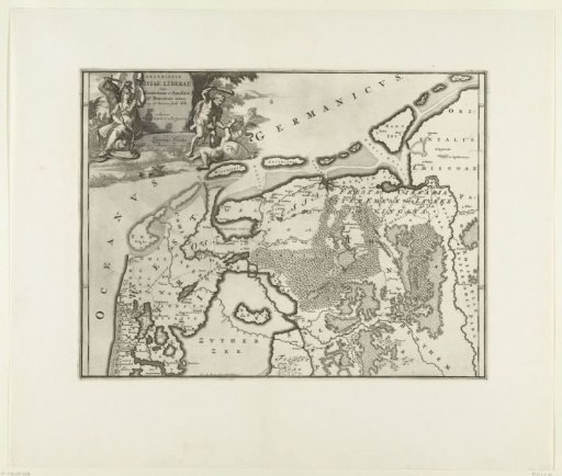 Historical map of the Netherlands with the territories of the Batavians and Frisians
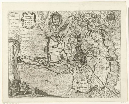 Map of the siege of 's-Hertogenbosch by Frederick Henry, 1629
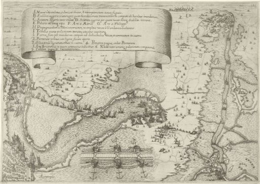 Plan of Antwerp during the siege by the Duke of Parma, 1584-1585