Public domain
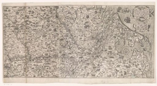
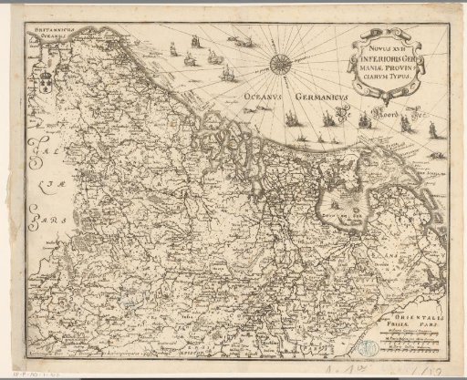
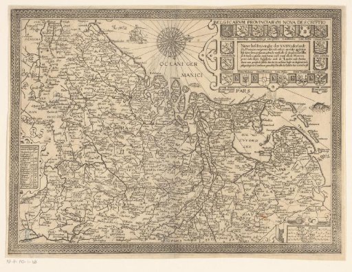
Map of the Seventeen Provinces
From the collection of Rijksmuseum, Amsterdam. Free to download, adapt and use — no permission needed.
About this work
Map of the Seventeen Provinces with an ornamental border. In the upper right, the title cartouche, surrounded by the coats of arms of the Provinces. In the lower right, a cartouche with four scales: 11 Cleyne Mylen / 8 Midelbaer Mylen, and two others. On the left edge, a table with the number of cities in the different provinces.
Rijksmuseum, Amsterdam’s own descriptionCredit lineKaart van de Zeventien Provinciën. 1609 - 1648. Joannes van Doetechum (II). Rijksmuseum, Amsterdam. Public domain.