Public domain
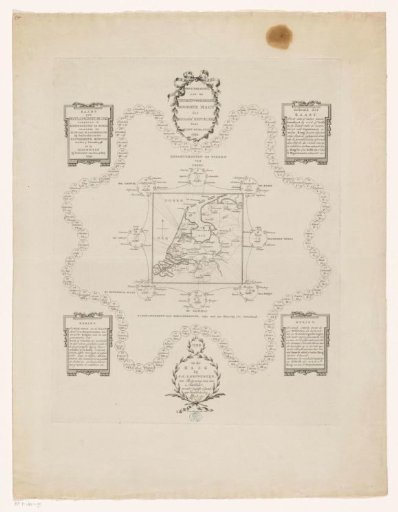
Map of the Batavian Republic Divided into Administrative Regions
From the collection of Rijksmuseum, Amsterdam. Free to download, adapt and use — no permission needed.
About this work
Map of the Batavian Republic, divided into various administrative regions: eight rings and 94 departments. With an explanation of the use of the map. In the wreath at the bottom center, patriot Quint Ondaatje has applied his signature by hand.
Rijksmuseum, Amsterdam’s own descriptionSubjects
Credit lineKaart van de Bataafse Republiek opgedeeld in bestuurlijke regio's. 1799. Cornelis van Baarsel. Rijksmuseum, Amsterdam. Public domain.
Similar works
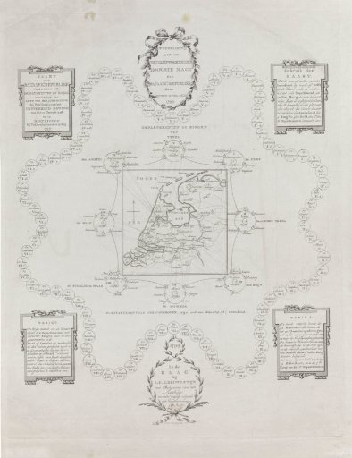 Map of the Batavian Republic, 1799
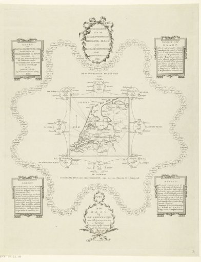 Map of the Batavian Republic divided into administrative regions
 Plan of civil district IV in Amsterdam, under the command of Captain Gerard van Papenbroeck
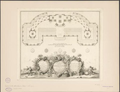 Theater in The Hague for the fireworks for the Peace of Aix-la-Chapelle, 1749
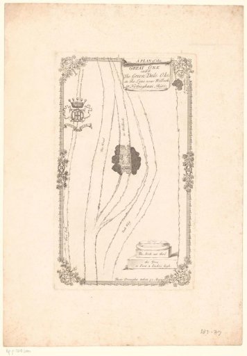 Map of the path through the Greendale Oak
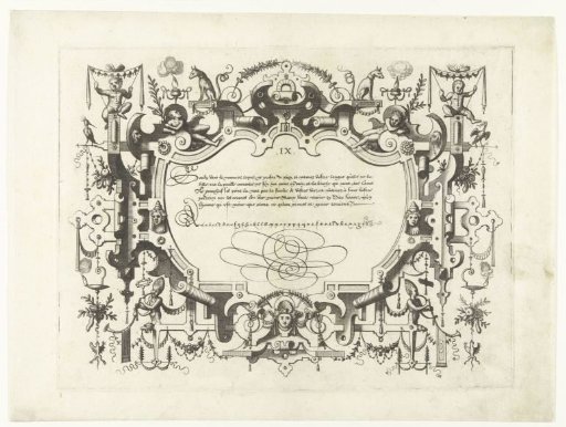 Cartouche with calligraphy, with a child with a canopy in the top left and right