Public domain
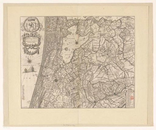
Map of Rijnland and Amstelland
From the collection of Rijksmuseum, Amsterdam. Free to download, adapt and use — no permission needed.
About this work
Map of Rijnland and Amstelland, the central part of Holland. Top left the coat of arms of the County of Holland in a laurel wreath. Below the title cartouche. Bottom left a scale: Milliare Hollandicum, sive 2000 virgae Rijnlandicae. Bottom right the legend 1-19. On verso Latin text.
Rijksmuseum, Amsterdam’s own descriptionCredit lineKaart van Rijnland en Amstelland. 1631. anonymous. Rijksmuseum, Amsterdam. Public domain.
Similar works
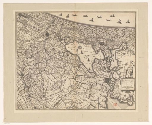 Map of Rijnland and Amstelland
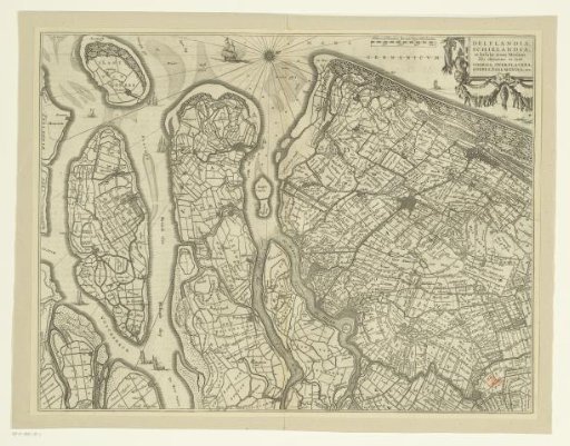 Map of Delfland, Schieland and the South Holland islands
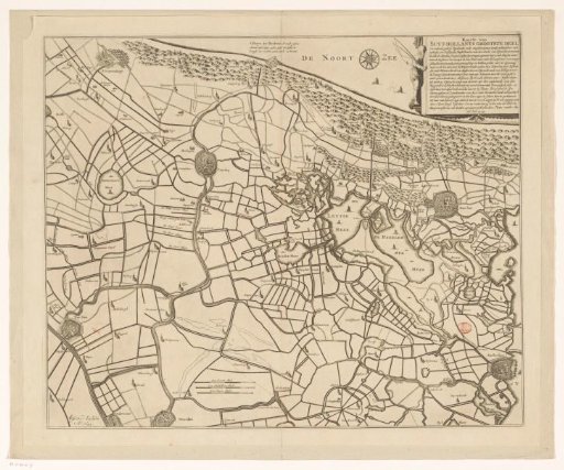 Historical Map of a Part of South and North Holland
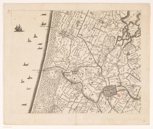 Map of the Hoogheemraadschap of Rijnland (tenth part)
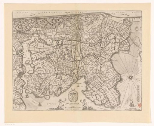 Map of the northern part of the county of Holland
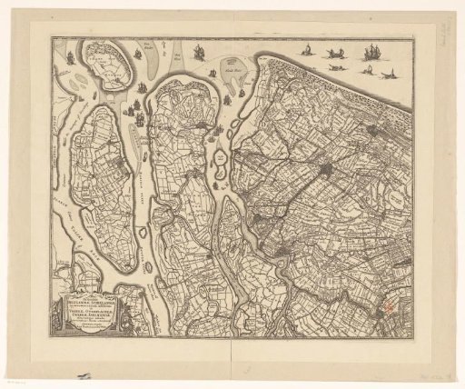 Map of Delfland, Schieland and the South Holland islands