Public domain
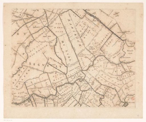
Map of the Hoogheemraadschap of Rijnland (twelfth part)
From the collection of Rijksmuseum, Amsterdam. Free to download, adapt and use — no permission needed.
About this work
Twelfth part of a map of the High Council of Rijnland, consisting of fifteen parts.
Rijksmuseum, Amsterdam’s own descriptionCredit lineKaart van het Hoogheemraadschap van Rijnland (twaalfde deel). 1647. Cornelis Danckerts (I). Rijksmuseum, Amsterdam. Public domain.
Similar works
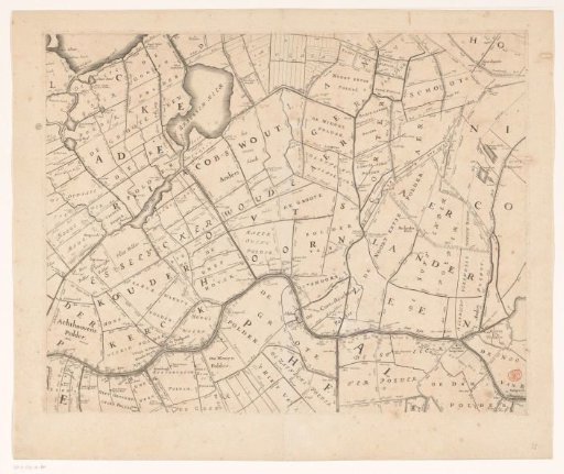 Map of the Hoogheemraadschap of Rijnland (eleventh part)
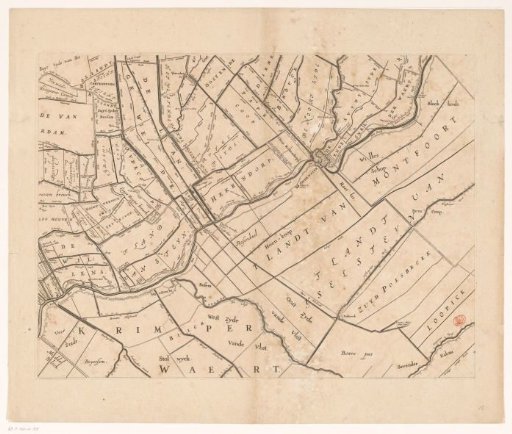 Map of the Hoogheemraadschap of Rijnland (fifteenth part)
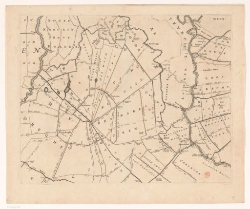 Map of the Hoogheemraadschap of Rijnland (ninth part)
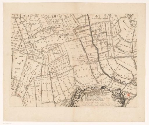 Map of the Hoogheemraadschap of Rijnland (fourteenth part)
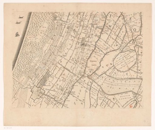 Map of the Hoogheemraadschap of Rijnland (thirteenth part)
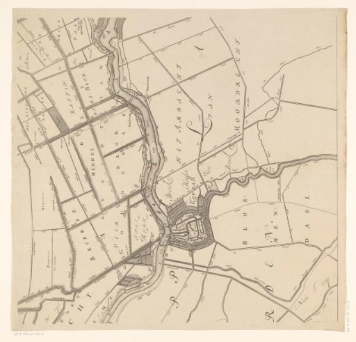 Map of the Hoogheemraadschap of the Krimpenerwaard (fifth part of the map)