Public domain
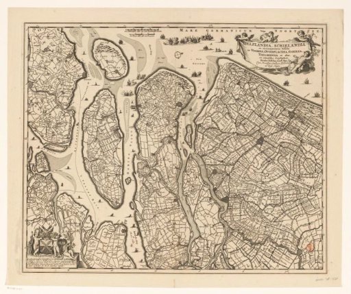
Map of Delfland, Schieland and the South Holland islands
From the collection of Rijksmuseum, Amsterdam. Free to download, adapt and use — no permission needed.
About this work
Map of Delfland, Schieland, and the South Holland islands (including Voorne, Overflakkee, Goeree, and IJsselmonde). Bottom left a cartouche with the dedication to and the coat of arms of Jacob van der Dussen. Top left of center two scale bars: A Dutch mile of 2000 Rhinland rods; A French mile or a walking hour. Top right the title cartouche. Degree division along the edges. Orientation: north right.
Rijksmuseum, Amsterdam’s own descriptionCredit lineKaart van Delfland, Schieland en de Zuid-Hollandse eilanden. in or after 1677 - 1720. anonymous. Rijksmuseum, Amsterdam. Public domain.
Similar works
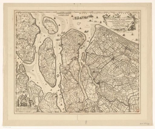 Map of Delfland, Schieland and the South Holland islands
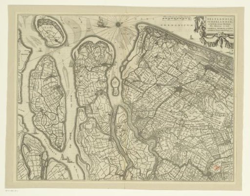 Map of Delfland, Schieland and the South Holland islands
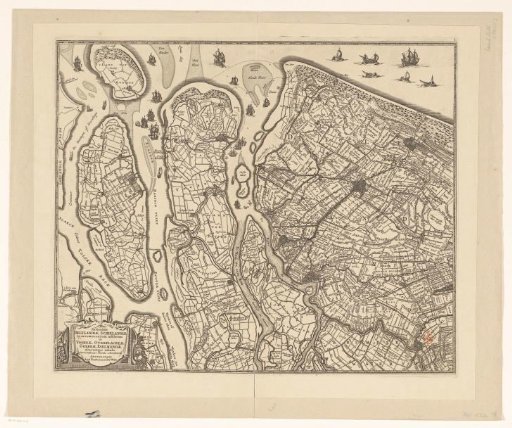 Map of Delfland, Schieland and the South Holland islands
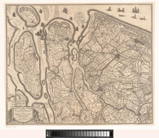 Map of Delfland, Schieland, and the South Holland islands
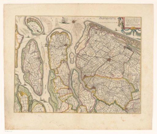 Map of Delfland, Schieland and the South Holland islands
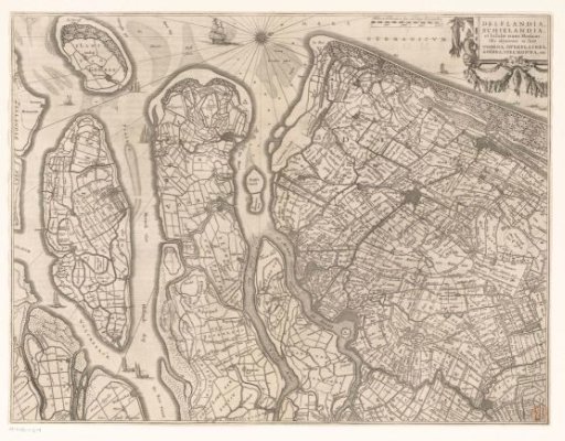 Map of Delfland, Schieland, and the South Holland islands